Distance to Smithwick, South Dakota

Calculating Your Route
Just a moment while we process your request...
Location Information
-
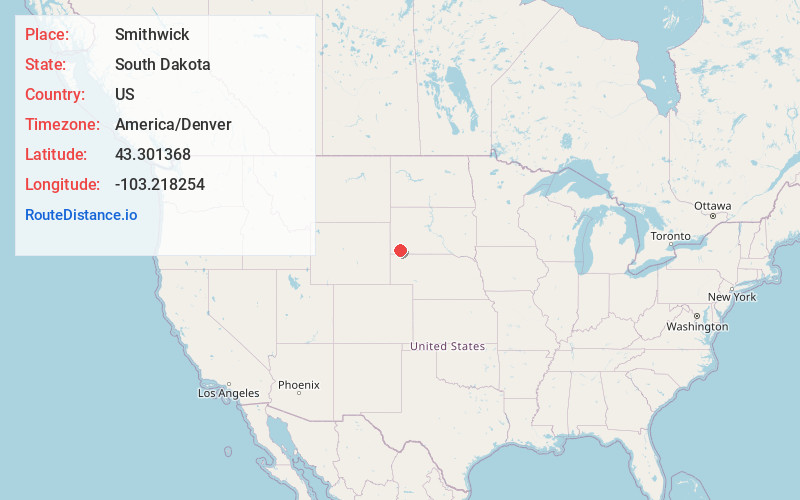
Full AddressSmithwick, SD
-
Coordinates43.3013677, -103.2182538
-
LocationSmithwick , South Dakota , US
-
TimezoneAmerica/Denver
-
Current Local Time3:21:01 AM America/DenverWednesday, June 18, 2025
-
Page Views0
About Smithwick
Smithwick is an unincorporated community and census-designated place in Fall River County, South Dakota, United States. The population was 39 at the 2020 census. Smithwick has been assigned the ZIP code of 57782.
Nearby Places
Found 10 places within 50 miles

Oral
7.6 mi
12.2 km
Oral, SD 57766
Get directions

Oelrichs
8.5 mi
13.7 km
Oelrichs, SD 57763
Get directions

Buffalo Gap
14.0 mi
22.5 km
Buffalo Gap, SD 57722
Get directions

Hot Springs
15.7 mi
25.3 km
Hot Springs, SD 57747
Get directions

Oglala
25.3 mi
40.7 km
Oglala, SD
Get directions

Fairburn
26.6 mi
42.8 km
Fairburn, SD 57738
Get directions

Pringle
28.4 mi
45.7 km
Pringle, SD
Get directions

Edgemont
30.5 mi
49.1 km
Edgemont, SD 57735
Get directions

Chadron
34.4 mi
55.4 km
Chadron, NE 69337
Get directions

Whitney
35.9 mi
57.8 km
Whitney, NE 69367
Get directions
Location Links
Local Weather
Weather Information
Coming soon!
Location Map
Static map view of Smithwick, South Dakota
Browse Places by Distance
Places within specific distances from Smithwick
Short Distances
Long Distances
Click any distance to see all places within that range from Smithwick. Distances shown in miles (1 mile ≈ 1.61 kilometers).