Distance to Smoke Run, Pennsylvania

Calculating Your Route
Just a moment while we process your request...
Location Information
-
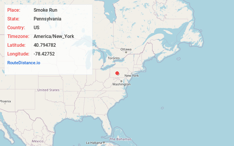
Full AddressSmoke Run, PA 16661
-
Coordinates40.7947824, -78.42752
-
LocationSmoke Run , Pennsylvania , US
-
TimezoneAmerica/New_York
-
Current Local Time7:52:43 AM America/New_YorkThursday, July 3, 2025
-
Page Views0
About Smoke Run
Smoke Run is an unincorporated community in Clearfield County, Pennsylvania, United States. The community is located along Pennsylvania Route 453, 1.6 miles west of Ramey. Smoke Run has a post office with ZIP code 16681.
Nearby Places
Found 10 places within 50 miles

Waltzvale
1.2 mi
1.9 km
Waltzvale, Gulich Township, PA 16651
Get directions
Beulah
1.3 mi
2.1 km
Beulah, Bigler Township, PA 16661
Get directions
Ramey
1.6 mi
2.6 km
Ramey, PA
Get directions
Hegarty Crossroads
2.3 mi
3.7 km
Hegarty Crossroads, Beccaria Township, PA 16627
Get directions
Almaden
2.6 mi
4.2 km
Almaden, PA 16651
Get directions
Ginter
2.8 mi
4.5 km
Ginter, PA 16651
Get directions
Amesville
2.9 mi
4.7 km
Amesville, PA 16651
Get directions
Kendrick
2.9 mi
4.7 km
Kendrick, Woodward Township, PA 16651
Get directions
Betz
3.5 mi
5.6 km
Betz, Bigler Township, PA 16661
Get directions
Glen Hope
3.8 mi
6.1 km
Glen Hope, PA
Get directions
Location Links
Local Weather
Weather Information
Coming soon!
Location Map
Static map view of Smoke Run, Pennsylvania
Browse Places by Distance
Places within specific distances from Smoke Run
Short Distances
Long Distances
Click any distance to see all places within that range from Smoke Run. Distances shown in miles (1 mile ≈ 1.61 kilometers).