Distance to Sniderville, Wisconsin

Calculating Your Route
Just a moment while we process your request...
Location Information
-
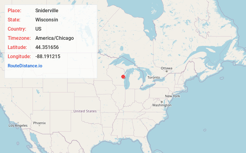
Full AddressSniderville, Wrightstown, WI 54130
-
Coordinates44.3516558, -88.1912149
-
LocationWrightstown , Wisconsin , US
-
TimezoneAmerica/Chicago
-
Current Local Time10:02:25 PM America/ChicagoWednesday, June 18, 2025
-
Page Views0
About Sniderville
Sniderville is an unincorporated community located in the towns of Wrightstown and Kaukauna in Brown and Outagamie counties, Wisconsin, United States. It is located on U.S. Route 41/Interstate 41 near Brown County Trunk DDD and Brown County Trunk U.
Nearby Places
Found 10 places within 50 miles

Wrightstown
2.3 mi
3.7 km
Wrightstown, WI
Get directions

Greenleaf
5.3 mi
8.5 km
Greenleaf, WI 54126
Get directions

Kaukauna
6.5 mi
10.5 km
Kaukauna, WI 54130
Get directions

Little Chute
8.0 mi
12.9 km
Little Chute, WI
Get directions

Combined Locks
8.5 mi
13.7 km
Combined Locks, WI
Get directions

Kimberly
9.1 mi
14.6 km
Kimberly, WI
Get directions

De Pere
9.3 mi
15.0 km
De Pere, WI
Get directions

Hobart
9.6 mi
15.4 km
Hobart, WI
Get directions
Forest Junction
9.9 mi
15.9 km
Forest Junction, WI
Get directions
Darboy
10.0 mi
16.1 km
Darboy, Harrison, WI 54915
Get directions
Location Links
Local Weather
Weather Information
Coming soon!
Location Map
Static map view of Sniderville, Wisconsin
Browse Places by Distance
Places within specific distances from Sniderville
Short Distances
Long Distances
Click any distance to see all places within that range from Sniderville. Distances shown in miles (1 mile ≈ 1.61 kilometers).