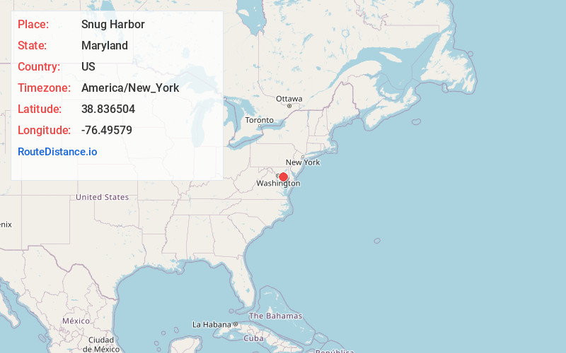
Distance to Snug Harbor, Maryland

Calculating Your Route
Just a moment while we process your request...
Location Information
-
Full AddressSnug Harbor, Shady Side, MD 20764
-
Coordinates38.8365044, -76.49579
-
LocationShady Side , Maryland , US
-
TimezoneAmerica/New_York
-
Current Local Time7:28:38 PM America/New_YorkTuesday, May 27, 2025
-
Page Views0
Nearby Places
Found 10 places within 50 miles

Shady Side
1.0 mi
1.6 km
Shady Side, MD
Get directions

Galesville
2.6 mi
4.2 km
Galesville, MD
Get directions

Mayo
3.6 mi
5.8 km
Mayo, MD
Get directions

Shoreham Beach
4.4 mi
7.1 km
Shoreham Beach, Mayo, MD 21037
Get directions

Deale
5.2 mi
8.4 km
Deale, MD
Get directions
Leitch
6.1 mi
9.8 km
Leitch, MD 20779
Get directions

Highland Beach
6.7 mi
10.8 km
Highland Beach, MD 21403
Get directions

Edgewater
8.0 mi
12.9 km
Edgewater, MD
Get directions

Friendship
8.5 mi
13.7 km
Friendship, MD
Get directions
Romancoke
9.0 mi
14.5 km
Romancoke, MD 21666
Get directions
Location Links
Local Weather
Weather Information
Coming soon!
Location Map
Static map view of Snug Harbor, Maryland
Browse Places by Distance
Places within specific distances from Snug Harbor
Short Distances
Long Distances
Click any distance to see all places within that range from Snug Harbor. Distances shown in miles (1 mile ≈ 1.61 kilometers).