Distance to Soaptown, Ohio

Calculating Your Route
Just a moment while we process your request...
Location Information
-
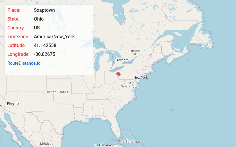
Full AddressSoaptown, Lordstown, OH 44481
-
Coordinates41.1425575, -80.8267496
-
LocationLordstown , Ohio , US
-
TimezoneAmerica/New_York
-
Current Local Time7:55:09 AM America/New_YorkTuesday, July 1, 2025
-
Page Views0
Nearby Places
Found 10 places within 50 miles

Lordstown
2.3 mi
3.7 km
Lordstown, OH
Get directions

Mineral Ridge
3.0 mi
4.8 km
Mineral Ridge, OH
Get directions

Niles
4.2 mi
6.8 km
Niles, OH
Get directions

Austintown
4.3 mi
6.9 km
Austintown, OH
Get directions

Bolindale
5.2 mi
8.4 km
Bolindale, OH 44484
Get directions
Camp Park
5.4 mi
8.7 km
Camp Park, Austintown Township, OH 44406
Get directions

McDonald
5.5 mi
8.9 km
McDonald, OH
Get directions

Girard
6.6 mi
10.6 km
Girard, OH
Get directions
McKinley Heights
6.6 mi
10.6 km
McKinley Heights, OH
Get directions

Warren
6.6 mi
10.6 km
Warren, OH
Get directions
Location Links
Local Weather
Weather Information
Coming soon!
Location Map
Static map view of Soaptown, Ohio
Browse Places by Distance
Places within specific distances from Soaptown
Short Distances
Long Distances
Click any distance to see all places within that range from Soaptown. Distances shown in miles (1 mile ≈ 1.61 kilometers).