Distance to Soapweed, California

Calculating Your Route
Just a moment while we process your request...
Location Information
-
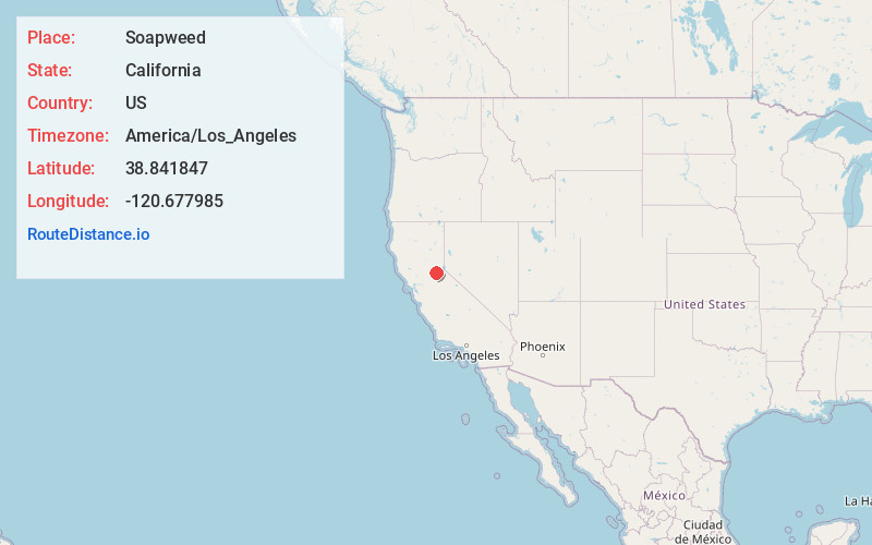
Full AddressSoapweed, CA 95634
-
Coordinates38.8418468, -120.6779847
-
LocationCalifornia , US
-
TimezoneAmerica/Los_Angeles
-
Current Local Time7:31:42 AM America/Los_AngelesSaturday, June 14, 2025
-
Page Views0
Nearby Places
Found 10 places within 50 miles

Deer View
0.6 mi
1.0 km
Deer View, CA 95667
Get directions
Old Pino
2.4 mi
3.9 km
Old Pino, CA 95709
Get directions
Pino Grande
3.5 mi
5.6 km
Pino Grande, CA
Get directions
Claussenius
3.5 mi
5.6 km
Claussenius, CA
Get directions

Quintette
5.1 mi
8.2 km
Quintette, CA 95634
Get directions

Camino
7.2 mi
11.6 km
Camino, CA
Get directions
Five Mile Terrace
7.3 mi
11.7 km
Five Mile Terrace, CA 95667
Get directions

Pollock Pines
7.4 mi
11.9 km
Pollock Pines, CA
Get directions
Balderson Station
7.6 mi
12.2 km
Balderson Station, CA 95634
Get directions
Leonardi
8.1 mi
13.0 km
Leonardi, CA 95634
Get directions
Location Links
Local Weather
Weather Information
Coming soon!
Location Map
Static map view of Soapweed, California
Browse Places by Distance
Places within specific distances from Soapweed
Short Distances
Long Distances
Click any distance to see all places within that range from Soapweed. Distances shown in miles (1 mile ≈ 1.61 kilometers).