Distance to Soham, New Mexico

Calculating Your Route
Just a moment while we process your request...
Location Information
-
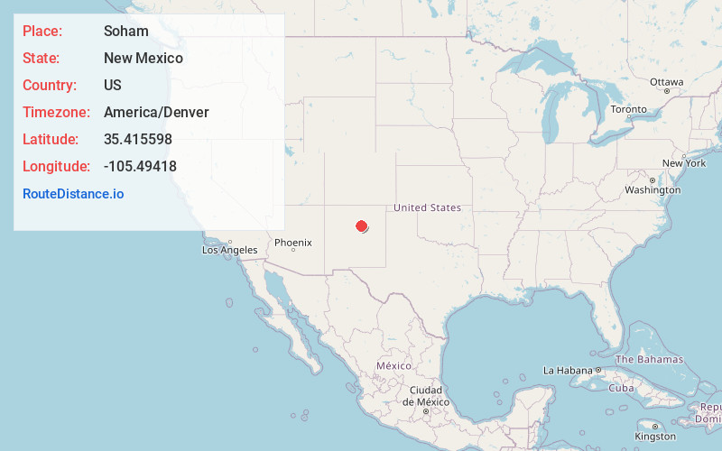
Full AddressSoham, NM
-
Coordinates35.4155984, -105.4941797
-
LocationSoham , New Mexico , US
-
TimezoneAmerica/Denver
-
Current Local Time1:58:55 PM America/DenverFriday, May 23, 2025
-
Page Views0
About Soham
Soham is an unincorporated community and census-designated place in San Miguel County, New Mexico, United States. Its population was 210 as of the 2010 census. The community is located near Exit 319 on Interstate 25.

Nearby Places
Found 10 places within 50 miles

San Jose
1.7 mi
2.7 km
San Jose, NM 87565
Get directions

Villanueva
12.7 mi
20.4 km
Villanueva, NM
Get directions

La Cueva
18.1 mi
29.1 km
La Cueva, NM 87535
Get directions

Glorieta
19.4 mi
31.2 km
Glorieta, NM 87535
Get directions

Las Vegas
19.6 mi
31.5 km
Las Vegas, NM 87701
Get directions

Tecolotito Diversion Dam
22.0 mi
35.4 km
Tecolotito Diversion Dam, Anton Chico, NM 87711
Get directions

Eldorado at Santa Fe
25.9 mi
41.7 km
Eldorado at Santa Fe, NM
Get directions

Santa Fe
31.3 mi
50.4 km
Santa Fe, NM
Get directions

Agua Fria
34.0 mi
54.7 km
Agua Fria, NM 87507
Get directions

Tesuque
34.3 mi
55.2 km
Tesuque, NM
Get directions
Location Links
Local Weather
Weather Information
Coming soon!
Location Map
Static map view of Soham, New Mexico
Browse Places by Distance
Places within specific distances from Soham
Short Distances
Long Distances
Click any distance to see all places within that range from Soham. Distances shown in miles (1 mile ≈ 1.61 kilometers).