Distance to Solgohachia, Arkansas

Calculating Your Route
Just a moment while we process your request...
Location Information
-
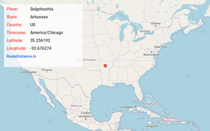
Full AddressSolgohachia, AR 72156
-
Coordinates35.2561924, -92.6762737
-
LocationSolgohachia , Arkansas , US
-
TimezoneAmerica/Chicago
-
Current Local Time10:38:45 PM America/ChicagoSaturday, June 21, 2025
-
Page Views0
About Solgohachia
Solgohachia saw-gə-HA-chee is an unincorporated community in Conway County, Arkansas, United States, about 10 miles north of Morrilton on Arkansas Highway 9 and Arkansas Highway 287. The ZIP Code for Solgohachia is 72156. The name is from the Choctaw word Sok-ko-huch-cha, meaning "muscadine river".

Nearby Places
Found 10 places within 50 miles

Wesley Chapel
3.3 mi
5.3 km
Wesley Chapel, AR 72063
Get directions
Hickory Hill
3.3 mi
5.3 km
Hickory Hill, AR 72110
Get directions
Arthur
3.7 mi
6.0 km
Arthur, AR 72157
Get directions
Lone Grove
4.3 mi
6.9 km
Lone Grove, AR 72156
Get directions
Hill Creek
4.5 mi
7.2 km
Hill Creek, AR 72127
Get directions
Bethlehem
5.3 mi
8.5 km
Bethlehem, AR 72157
Get directions
Lanty
5.6 mi
9.0 km
Lanty, AR 72063
Get directions
Wonderview
5.8 mi
9.3 km
Wonderview, AR 72063
Get directions
Hattieville
6.6 mi
10.6 km
Hattieville, AR 72063
Get directions

Springfield
6.7 mi
10.8 km
Springfield, AR 72157
Get directions
Location Links
Local Weather
Weather Information
Coming soon!
Location Map
Static map view of Solgohachia, Arkansas
Browse Places by Distance
Places within specific distances from Solgohachia
Short Distances
Long Distances
Click any distance to see all places within that range from Solgohachia. Distances shown in miles (1 mile ≈ 1.61 kilometers).