Distance to Solomon, Arizona

Calculating Your Route
Just a moment while we process your request...
Location Information
-
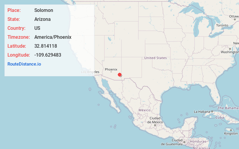
Full AddressSolomon, AZ
-
Coordinates32.8141183, -109.6294831
-
LocationSolomon , Arizona , US
-
TimezoneAmerica/Phoenix
-
Current Local Time1:07:59 PM America/PhoenixThursday, June 5, 2025
-
Page Views0
About Solomon
Solomon is a census-designated place in Graham County, Arizona, United States. Its population was 399 as of the 2020 census. It is part of the Safford Micropolitan Statistical Area.


Nearby Places
Found 10 places within 50 miles

San Jose
2.2 mi
3.5 km
San Jose, AZ 85546
Get directions

Safford
4.7 mi
7.6 km
Safford, AZ
Get directions

Cactus Flat
6.3 mi
10.1 km
Cactus Flat, AZ 85546
Get directions

Swift Trail Junction
7.6 mi
12.2 km
Swift Trail Junction, AZ 85546
Get directions

Thatcher
7.9 mi
12.7 km
Thatcher, AZ 85552
Get directions

Pima
12.8 mi
20.6 km
Pima, AZ 85543
Get directions

Morenci
23.9 mi
38.5 km
Morenci, AZ 85540
Get directions

Clifton
25.3 mi
40.7 km
Clifton, AZ
Get directions

Duncan
31.1 mi
50.1 km
Duncan, AZ 85534
Get directions

Bylas
36.4 mi
58.6 km
Bylas, AZ 85530
Get directions
Location Links
Local Weather
Weather Information
Coming soon!
Location Map
Static map view of Solomon, Arizona
Browse Places by Distance
Places within specific distances from Solomon
Short Distances
Long Distances
Click any distance to see all places within that range from Solomon. Distances shown in miles (1 mile ≈ 1.61 kilometers).