Distance to Somers, Connecticut

Calculating Your Route
Just a moment while we process your request...
Location Information
-
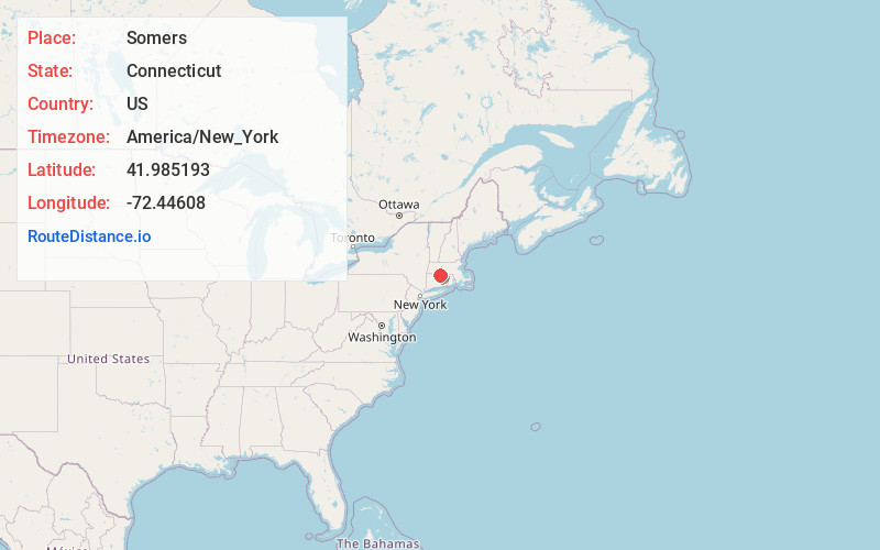
Full AddressSomers, CT
-
Coordinates41.9851929, -72.4460798
-
LocationSomers , Connecticut , US
-
TimezoneAmerica/New_York
-
Current Local Time4:43:22 AM America/New_YorkMonday, June 2, 2025
-
Website
-
Page Views0
About Somers
Somers is a town in Tolland County, Connecticut, United States. The town is part of the Capitol Planning Region. The population was 10,255 at the 2020 census. The town center is listed by the U.S. Census Bureau as a census-designated place.


Nearby Places
Found 10 places within 50 miles

Baptist Village
4.5 mi
7.2 km
Baptist Village, East Longmeadow, MA 01028
Get directions

Ellington
4.7 mi
7.6 km
Ellington, CT
Get directions
Lake View Terrace
4.9 mi
7.9 km
Lake View Terrace, Stafford, CT 06076
Get directions

Enfield
5.2 mi
8.4 km
Enfield, CT 06082
Get directions

Broad Brook
5.3 mi
8.5 km
Broad Brook, Connecticut
Get directions

Hampden
5.7 mi
9.2 km
Hampden, MA 01036
Get directions
Orcutts
6.4 mi
10.3 km
Orcutts, Stafford, CT 06076
Get directions

East Longmeadow
6.5 mi
10.5 km
East Longmeadow, MA 01028
Get directions

Stafford
6.7 mi
10.8 km
Stafford, CT
Get directions

East Windsor
7.5 mi
12.1 km
East Windsor, CT
Get directions
Location Links
Local Weather
Weather Information
Coming soon!
Location Map
Static map view of Somers, Connecticut
Browse Places by Distance
Places within specific distances from Somers
Short Distances
Long Distances
Click any distance to see all places within that range from Somers. Distances shown in miles (1 mile ≈ 1.61 kilometers).