Distance to Sonoma County, California

Calculating Your Route
Just a moment while we process your request...
Location Information
-
Full AddressSonoma County, CA
-
Coordinates38.5779555, -122.9888319
-
LocationCalifornia , US
-
TimezoneAmerica/Los_Angeles
-
Current Local Time4:42:13 AM America/Los_AngelesSunday, June 1, 2025
-
Website
-
Page Views0
About Sonoma County
Sonoma County is in Northern California. It's known for the Sonoma Valley wine region, as well as other notable winemaking areas such as the Dry Creek and Alexander valleys. The city of Sonoma is home to the 19th-century Mission San Francisco Solano and the central, colonial-era Sonoma Plaza. Near Glen Ellen, Jack London State Historic Park contains the gravesite and cottage of the American author, plus many trails.


Nearby Places
Found 10 places within 50 miles

Venado
2.2 mi
3.5 km
Venado, CA 95448
Get directions
Korbel
5.0 mi
8.0 km
Korbel, CA 95436
Get directions
Guerneville
5.3 mi
8.5 km
Guerneville, CA 95446
Get directions
Hale Place
5.5 mi
8.9 km
Hale Place, CA 95421
Get directions

Odd Fellows Park
5.7 mi
9.2 km
Odd Fellows Park, CA 95446
Get directions
Hilton
5.7 mi
9.2 km
Hilton, CA 95436
Get directions
Highcroft
5.8 mi
9.3 km
Highcroft, CA 95436
Get directions

Forest Hills
6.0 mi
9.7 km
Forest Hills, CA 95436
Get directions
Noel Heights
6.0 mi
9.7 km
Noel Heights, CA 95446
Get directions
Summerhome Park
6.2 mi
10.0 km
Summerhome Park, CA 95436
Get directions
Location Links
Local Weather
Weather Information
Coming soon!
Location Map
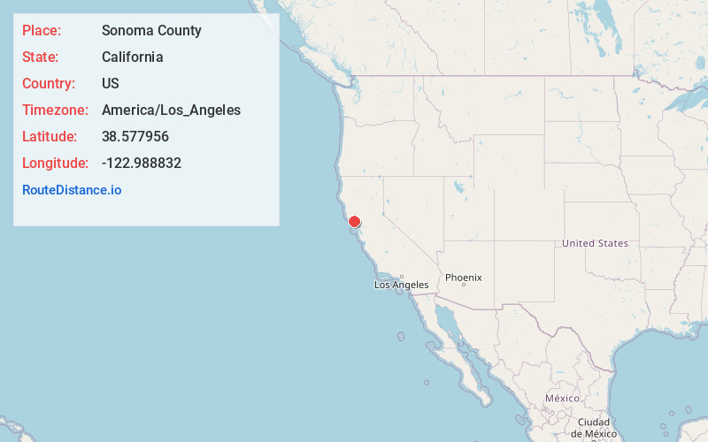
Static map view of Sonoma County, California
Browse Places by Distance
Places within specific distances from Sonoma County
Short Distances
Long Distances
Click any distance to see all places within that range from Sonoma County. Distances shown in miles (1 mile ≈ 1.61 kilometers).