Distance to Sophia, North Carolina

Calculating Your Route
Just a moment while we process your request...
Location Information
-
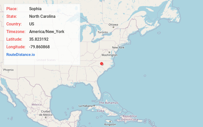
Full AddressSophia, NC 27350
-
Coordinates35.823192, -79.8608677
-
LocationSophia , North Carolina , US
-
TimezoneAmerica/New_York
-
Current Local Time11:04:32 PM America/New_YorkWednesday, May 28, 2025
-
Page Views0
About Sophia
Sophia is an unincorporated community in central Randolph County in the U.S. state of North Carolina. It is located along U.S. Route 311, just northwest of the route's intersection with I-73/I-74/US 220 and southeast of Archdale. The ZIP Code for Sophia is 27350.


Nearby Places
Found 10 places within 50 miles

Randleman
3.3 mi
5.3 km
Randleman, NC 27317
Get directions

Glenola
4.6 mi
7.4 km
Glenola, NC 27263
Get directions
Mundo Vista
5.1 mi
8.2 km
Mundo Vista, NC 27350
Get directions
Coltranes Mill
5.7 mi
9.2 km
Coltranes Mill, NC 27317
Get directions
Central Falls
6.4 mi
10.3 km
Central Falls, Asheboro, NC 27203
Get directions
Millboro
6.5 mi
10.5 km
Millboro, NC 27248
Get directions

Asheboro
8.4 mi
13.5 km
Asheboro, NC
Get directions
Miles Crossroad
8.7 mi
14.0 km
Miles Crossroad, NC 27407
Get directions

Trinity
8.8 mi
14.2 km
Trinity, NC
Get directions

Archdale
8.9 mi
14.3 km
Archdale, NC
Get directions
Location Links
Local Weather
Weather Information
Coming soon!
Location Map
Static map view of Sophia, North Carolina
Browse Places by Distance
Places within specific distances from Sophia
Short Distances
Long Distances
Click any distance to see all places within that range from Sophia. Distances shown in miles (1 mile ≈ 1.61 kilometers).