Distance to South Branch, Michigan

Calculating Your Route
Just a moment while we process your request...
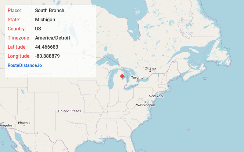
Location Information
-
Full AddressSouth Branch, MI 48761
-
Coordinates44.4666825, -83.8888792
-
LocationSouth Branch , Michigan , US
-
TimezoneAmerica/Detroit
-
Current Local Time9:01:17 PM America/DetroitSunday, June 22, 2025
-
Page Views0
Nearby Places
Found 10 places within 50 miles

Long Lake
3.3 mi
5.3 km
Long Lake, MI 48739
Get directions

The Jackpines
4.6 mi
7.4 km
The Jackpines, Plainfield Township, MI 48739
Get directions
Shady Shores
5.9 mi
9.5 km
Shady Shores, Hill Township, MI 48635
Get directions
Curtisville
6.5 mi
10.5 km
Curtisville, Curtis Township, MI 48761
Get directions

Hale
7.4 mi
11.9 km
Hale, MI 48739
Get directions
Cheviers
10.3 mi
16.6 km
Cheviers, Curtis Township, MI 48737
Get directions

Glennie
10.3 mi
16.6 km
Glennie, MI 48737
Get directions

Rose City
11.7 mi
18.8 km
Rose City, MI 48654
Get directions
Bryant
11.7 mi
18.8 km
Bryant, Curtis Township, MI 48737
Get directions
Reno Township
12.6 mi
20.3 km
Reno Township, MI
Get directions
Location Links
Local Weather
Weather Information
Coming soon!
Location Map
Static map view of South Branch, Michigan
Browse Places by Distance
Places within specific distances from South Branch
Short Distances
Long Distances
Click any distance to see all places within that range from South Branch. Distances shown in miles (1 mile ≈ 1.61 kilometers).