Distance to Southington, Ohio

Calculating Your Route
Just a moment while we process your request...
Location Information
-
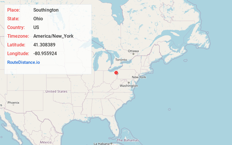
Full AddressSouthington, OH 44470
-
Coordinates41.3083893, -80.955924
-
LocationSouthington , Ohio , US
-
TimezoneAmerica/New_York
-
Current Local Time7:02:44 PM America/New_YorkFriday, June 20, 2025
-
Page Views0
About Southington
Southington is an unincorporated community in central Southington Township, Trumbull County, Ohio, United States. It lies at the intersection of U.S. Route 422 with State Route 305 and has a post office with the ZIP code 44470. It is part of the Youngstown–Warren metropolitan area.
Nearby Places
Found 10 places within 50 miles

Stroups
2.4 mi
3.9 km
Stroups, Southington Township, OH 44470
Get directions

West Farmington
5.8 mi
9.3 km
West Farmington, OH 44491
Get directions

Leavittsburg
5.9 mi
9.5 km
Leavittsburg, OH
Get directions
Champion Heights
6.1 mi
9.8 km
Champion Heights, OH
Get directions

Windham
7.0 mi
11.3 km
Windham, OH 44288
Get directions

Parkman
7.1 mi
11.4 km
Parkman, OH
Get directions

Garrettsville
7.5 mi
12.1 km
Garrettsville, OH 44231
Get directions

Newton Falls
8.4 mi
13.5 km
Newton Falls, OH 44444
Get directions

Warren
8.7 mi
14.0 km
Warren, OH
Get directions
South Canal
9.2 mi
14.8 km
South Canal, OH 44444
Get directions
Location Links
Local Weather
Weather Information
Coming soon!
Location Map
Static map view of Southington, Ohio
Browse Places by Distance
Places within specific distances from Southington
Short Distances
Long Distances
Click any distance to see all places within that range from Southington. Distances shown in miles (1 mile ≈ 1.61 kilometers).