Distance to Spalding County, Georgia

Calculating Your Route
Just a moment while we process your request...
Location Information
-
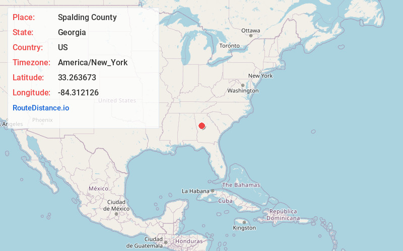
Full AddressSpalding County, GA
-
Coordinates33.2636732, -84.3121264
-
LocationGeorgia , US
-
TimezoneAmerica/New_York
-
Current Local Time10:31:30 AM America/New_YorkTuesday, June 24, 2025
-
Page Views0
About Spalding County
Spalding County is a county in the West Central region of the U.S. state of Georgia. As of the 2020 census, the population was 67,306. The county seat is Griffin. The county was created December 20, 1851, and named for former United States representative and senator Thomas Spalding.


Nearby Places
Found 10 places within 50 miles

Experiment
2.4 mi
3.9 km
Experiment, GA 30223
Get directions

Griffin
3.0 mi
4.8 km
Griffin, GA
Get directions
Rio
4.2 mi
6.8 km
Rio, GA 30223
Get directions
East Griffin
5.0 mi
8.0 km
East Griffin, GA 30223
Get directions
Sunny Side
5.5 mi
8.9 km
Sunny Side, GA
Get directions
Lowry
5.9 mi
9.5 km
Lowry, GA 30215
Get directions

Williamson
6.3 mi
10.1 km
Williamson, GA 30292
Get directions
Blantons Mill
7.7 mi
12.4 km
Blantons Mill, GA 30224
Get directions
Orchard Hill
7.9 mi
12.7 km
Orchard Hill, GA
Get directions

Hampton
8.6 mi
13.8 km
Hampton, GA 30228
Get directions
Location Links
Local Weather
Weather Information
Coming soon!
Location Map
Static map view of Spalding County, Georgia
Browse Places by Distance
Places within specific distances from Spalding County
Short Distances
Long Distances
Click any distance to see all places within that range from Spalding County. Distances shown in miles (1 mile ≈ 1.61 kilometers).