Distance to Sparkill, New York

Calculating Your Route
Just a moment while we process your request...
Location Information
-
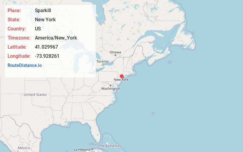
Full AddressSparkill, NY
-
Coordinates41.0299672, -73.9282607
-
LocationSparkill , New York , US
-
TimezoneAmerica/New_York
-
Current Local Time5:45:40 AM America/New_YorkWednesday, June 18, 2025
-
Page Views0
About Sparkill
Sparkill, formerly known as Tappan Sloat, is a suburban hamlet and census-designated place in the Town of Orangetown, Rockland County, New York, United States located north of Palisades; east of Tappan; south of Piermont and west of the Hudson River. As of the 2010 census, the CDP had a population of 1,565.


Nearby Places
Found 10 places within 50 miles

Piermont
1.0 mi
1.6 km
Piermont, NY
Get directions

Orangeburg
1.5 mi
2.4 km
Orangeburg, NY
Get directions

Orangetown
1.5 mi
2.4 km
Orangetown, NY
Get directions

Northvale
1.9 mi
3.1 km
Northvale, NJ
Get directions

Norwood
2.7 mi
4.3 km
Norwood, NJ
Get directions

Blauvelt
2.8 mi
4.5 km
Blauvelt, NY
Get directions

Old Tappan
3.0 mi
4.8 km
Old Tappan, NJ 07675
Get directions

Dobbs Ferry
3.1 mi
5.0 km
Dobbs Ferry, NY
Get directions

Irvington
3.3 mi
5.3 km
Irvington, NY
Get directions

Greenburgh
3.3 mi
5.3 km
Greenburgh, NY
Get directions
Location Links
Local Weather
Weather Information
Coming soon!
Location Map
Static map view of Sparkill, New York
Browse Places by Distance
Places within specific distances from Sparkill
Short Distances
Long Distances
Click any distance to see all places within that range from Sparkill. Distances shown in miles (1 mile ≈ 1.61 kilometers).