Distance to Spottswood, Virginia

Calculating Your Route
Just a moment while we process your request...
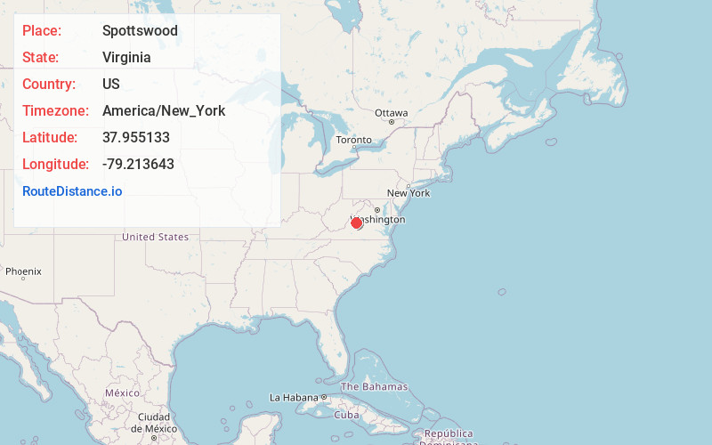
Location Information
-
Full AddressSpottswood, VA 24472
-
Coordinates37.9551328, -79.2136429
-
LocationSpottswood , Virginia , US
-
TimezoneAmerica/New_York
-
Current Local Time3:11:08 PM America/New_YorkWednesday, June 18, 2025
-
Page Views0
About Spottswood
Spottswood is an unincorporated community in Augusta County, Virginia, United States. Spottswood is located at the junction of State Routes 620 and 671 15.5 miles south-southwest of Staunton.
Nearby Places
Found 10 places within 50 miles

Greenville
4.6 mi
7.4 km
Greenville, VA
Get directions

Middlebrook
6.6 mi
10.6 km
Middlebrook, VA
Get directions

Fairfield
6.7 mi
10.8 km
Fairfield, VA 24435
Get directions

Stuarts Draft
11.1 mi
17.9 km
Stuarts Draft, VA
Get directions

Augusta Springs
11.6 mi
18.7 km
Augusta Springs, VA 24430
Get directions

Craigsville
12.6 mi
20.3 km
Craigsville, VA 24430
Get directions

Jolivue
13.3 mi
21.4 km
Jolivue, VA 24401
Get directions

Sherando
14.3 mi
23.0 km
Sherando, VA
Get directions

Staunton
15.4 mi
24.8 km
Staunton, VA 24401
Get directions

Lyndhurst
15.5 mi
24.9 km
Lyndhurst, VA
Get directions
Location Links
Local Weather
Weather Information
Coming soon!
Location Map
Static map view of Spottswood, Virginia
Browse Places by Distance
Places within specific distances from Spottswood
Short Distances
Long Distances
Click any distance to see all places within that range from Spottswood. Distances shown in miles (1 mile ≈ 1.61 kilometers).