Distance to Spring Hill Chapel, West Virginia

Calculating Your Route
Just a moment while we process your request...
Location Information
-
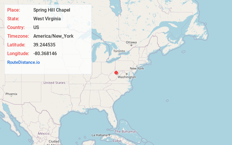
Full AddressSpring Hill Chapel, WV 26301
-
Coordinates39.2445346, -80.3681463
-
LocationWest Virginia , US
-
TimezoneAmerica/New_York
-
Current Local Time9:34:54 AM America/New_YorkTuesday, June 24, 2025
-
Page Views0
Nearby Places
Found 10 places within 50 miles

Clarksburg
2.8 mi
4.5 km
Clarksburg, WV
Get directions

Nutter Fort
2.9 mi
4.7 km
Nutter Fort, WV 26301
Get directions

Stonewood
3.0 mi
4.8 km
Stonewood, WV 26301
Get directions

East View
3.4 mi
5.5 km
East View, WV 26301
Get directions

West Milford
3.6 mi
5.8 km
West Milford, WV
Get directions

Anmoore
4.1 mi
6.6 km
Anmoore, WV
Get directions
Despard
4.5 mi
7.2 km
Despard, WV 26301
Get directions
Reynoldsville
4.7 mi
7.6 km
Reynoldsville, WV 26301
Get directions
Glen Falls
4.9 mi
7.9 km
Glen Falls, WV 26301
Get directions
Wolf Summit
5.6 mi
9.0 km
Wolf Summit, WV 26301
Get directions
Location Links
Local Weather
Weather Information
Coming soon!
Location Map
Static map view of Spring Hill Chapel, West Virginia
Browse Places by Distance
Places within specific distances from Spring Hill Chapel
Short Distances
Long Distances
Click any distance to see all places within that range from Spring Hill Chapel. Distances shown in miles (1 mile ≈ 1.61 kilometers).