Distance to Spring Valley Colony, South Dakota

Calculating Your Route
Just a moment while we process your request...
Location Information
-
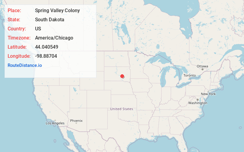
Full AddressSpring Valley Colony, SD 57382
-
Coordinates44.0405485, -98.8870398
-
LocationSpring Valley Colony , South Dakota , US
-
TimezoneAmerica/Chicago
-
Current Local Time12:37:16 PM America/ChicagoWednesday, June 18, 2025
-
Page Views0
About Spring Valley Colony
Spring Valley Colony is a Hutterite colony and census-designated place in Jerauld County, South Dakota, United States. It was first listed as a CDP prior to the 2020 census.
Nearby Places
Found 10 places within 50 miles

Gann Valley
5.0 mi
8.0 km
Gann Valley, SD 57341
Get directions

Wessington Springs
16.0 mi
25.7 km
Wessington Springs, SD 57382
Get directions

Ames
18.6 mi
29.9 km
Ames, SD 57362
Get directions
Kimball
20.6 mi
33.2 km
Kimball, SD 57355
Get directions
Grosse
21.3 mi
34.3 km
Grosse, West Point Township, SD 57325
Get directions
Lane
23.0 mi
37.0 km
Lane, SD
Get directions

White Lake
23.1 mi
37.2 km
White Lake, SD 57383
Get directions

Pukwana
23.3 mi
37.5 km
Pukwana, SD 57370
Get directions

Chamberlain
27.2 mi
43.8 km
Chamberlain, SD 57325
Get directions

Fort Thompson
27.4 mi
44.1 km
Fort Thompson, SD
Get directions
Location Links
Local Weather
Weather Information
Coming soon!
Location Map
Static map view of Spring Valley Colony, South Dakota
Browse Places by Distance
Places within specific distances from Spring Valley Colony
Short Distances
Long Distances
Click any distance to see all places within that range from Spring Valley Colony. Distances shown in miles (1 mile ≈ 1.61 kilometers).