Distance to Springdale, Utah

Calculating Your Route
Just a moment while we process your request...
Location Information
-
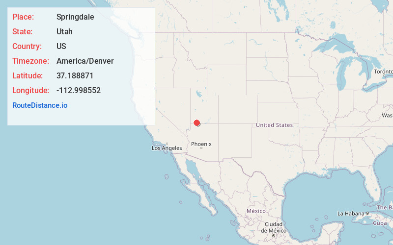
Full AddressSpringdale, UT
-
Coordinates37.1888713, -112.9985515
-
LocationSpringdale , Utah , US
-
TimezoneAmerica/Denver
-
Current Local Time11:00:48 AM America/DenverWednesday, June 18, 2025
-
Page Views0
About Springdale
Springdale is a town in Washington County, Utah, United States. The population was 529 at the 2010 census. It is located adjacent to the boundaries of Zion National Park. It was originally settled as a Mormon farming community in 1862 by evacuees from the flooding of nearby Northrop.


Nearby Places
Found 10 places within 50 miles

Apple Valley
9.2 mi
14.8 km
Apple Valley, UT 84737
Get directions

Virgin
10.5 mi
16.9 km
Virgin, UT
Get directions

Hildale
12.9 mi
20.8 km
Hildale, UT
Get directions

Colorado City
13.8 mi
22.2 km
Colorado City, AZ 86021
Get directions

La Verkin
15.1 mi
24.3 km
La Verkin, UT 84745
Get directions

Hurricane
16.1 mi
25.9 km
Hurricane, UT 84737
Get directions

Toquerville
16.4 mi
26.4 km
Toquerville, UT
Get directions

Leeds
20.1 mi
32.3 km
Leeds, UT
Get directions

Orderville
20.7 mi
33.3 km
Orderville, UT
Get directions

Kaibab
24.7 mi
39.8 km
Kaibab, AZ 86022
Get directions
Location Links
Local Weather
Weather Information
Coming soon!
Location Map
Static map view of Springdale, Utah
Browse Places by Distance
Places within specific distances from Springdale
Short Distances
Long Distances
Click any distance to see all places within that range from Springdale. Distances shown in miles (1 mile ≈ 1.61 kilometers).