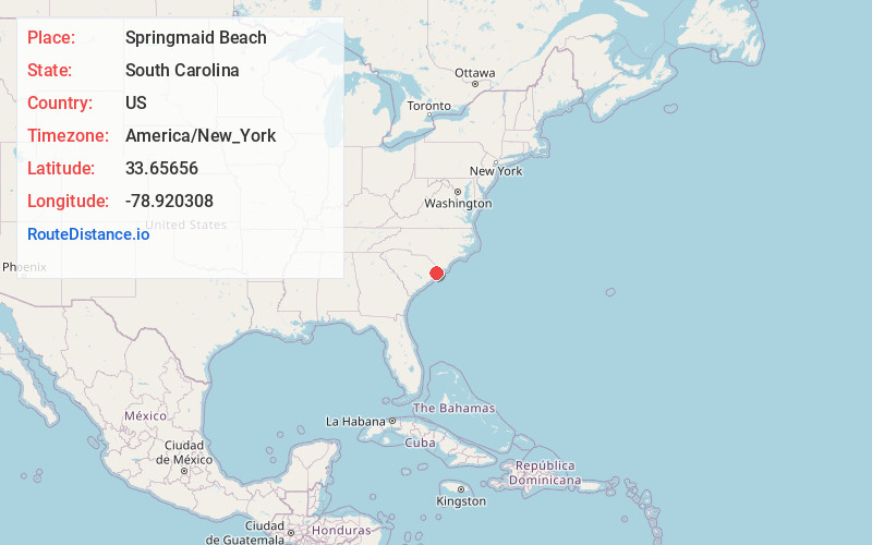
Distance to Springmaid Beach, South Carolina

Calculating Your Route
Just a moment while we process your request...
Location Information
-
Full AddressSpringmaid Beach, SC 29577
-
Coordinates33.6565597, -78.9203076
-
LocationSouth Carolina , US
-
TimezoneAmerica/New_York
-
Current Local Time4:02:17 AM America/New_YorkWednesday, June 18, 2025
-
Page Views0
About Springmaid Beach
Springmaid Beach is a neighborhood and resort community in Horry County, South Carolina, United States, straddling the city limits of Myrtle Beach. It lies north of Myrtle Beach State Park on Ocean Boulevard near Farrow Parkway.


Nearby Places
Found 10 places within 50 miles

Platt Spring
3.4 mi
5.5 km
Platt Spring, SC 29575
Get directions
Deerfield Plantation
3.4 mi
5.5 km
Deerfield Plantation, SC 29575
Get directions

Myrtle Beach
3.5 mi
5.6 km
Myrtle Beach, SC
Get directions

Surfside Beach
4.6 mi
7.4 km
Surfside Beach, SC 29575
Get directions

Socastee
4.9 mi
7.9 km
Socastee, SC
Get directions
Forestbrook
5.0 mi
8.0 km
Forestbrook, SC
Get directions

Garden City
6.7 mi
10.8 km
Garden City, SC
Get directions

Carolina Forest
8.0 mi
12.9 km
Carolina Forest, SC 29579
Get directions
Burgess
8.5 mi
13.7 km
Burgess, SC 29576
Get directions
Sunny Side
8.8 mi
14.2 km
Sunny Side, Murrells Inlet, SC 29576
Get directions
Location Links
Local Weather
Weather Information
Coming soon!
Location Map
Static map view of Springmaid Beach, South Carolina
Browse Places by Distance
Places within specific distances from Springmaid Beach
Short Distances
Long Distances
Click any distance to see all places within that range from Springmaid Beach. Distances shown in miles (1 mile ≈ 1.61 kilometers).