Distance to Springvale, Minnesota

Calculating Your Route
Just a moment while we process your request...
Location Information
-
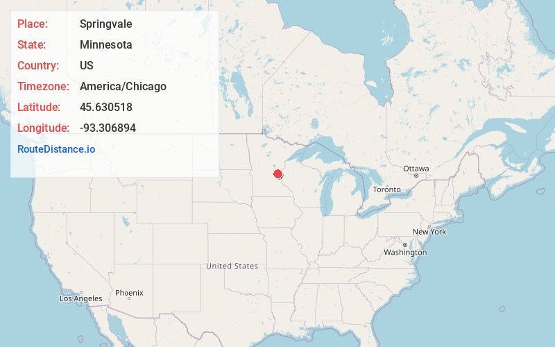
Full AddressSpringvale, MN 55008
-
Coordinates45.6305184, -93.306894
-
LocationSpringvale , Minnesota , US
-
TimezoneAmerica/Chicago
-
Current Local Time2:37:18 PM America/ChicagoSunday, June 22, 2025
-
Page Views0
About Springvale
Springvale is an unincorporated community in Springvale Township, Isanti County, Minnesota, United States.
The community is located at the junction of Isanti County Road 6 and Flamingo Street NW. County Roads 1 and 14 are nearby. Stanchfield Creek flows through the community.
Nearby Places
Found 10 places within 50 miles

Walbo
3.3 mi
5.3 km
Walbo, MN 55008
Get directions
Dalbo
4.9 mi
7.9 km
Dalbo, MN 55017
Get directions

Grandy
5.3 mi
8.5 km
Grandy, MN
Get directions

Cambridge
6.0 mi
9.7 km
Cambridge, MN
Get directions
West Point
6.4 mi
10.3 km
West Point, MN 55008
Get directions

Day
6.5 mi
10.5 km
Day, MN 55006
Get directions
Stanchfield
6.7 mi
10.8 km
Stanchfield, MN 55080
Get directions
Coin
7.2 mi
11.6 km
Coin, MN 55006
Get directions
Bradford
8.0 mi
12.9 km
Bradford, MN 55008
Get directions
Minnesota Boys Town
8.1 mi
13.0 km
Minnesota Boys Town, MN 55008
Get directions
Location Links
Local Weather
Weather Information
Coming soon!
Location Map
Static map view of Springvale, Minnesota
Browse Places by Distance
Places within specific distances from Springvale
Short Distances
Long Distances
Click any distance to see all places within that range from Springvale. Distances shown in miles (1 mile ≈ 1.61 kilometers).