Distance to Sprout Brook, New York

Calculating Your Route
Just a moment while we process your request...
Location Information
-
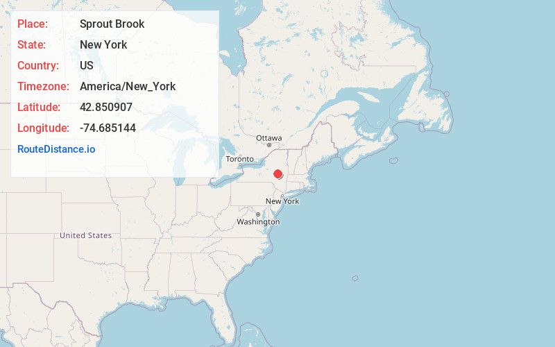
Full AddressSprout Brook, NY 13317
-
Coordinates42.8509067, -74.6851442
-
LocationSprout Brook , New York , US
-
TimezoneAmerica/New_York
-
Current Local Time6:41:01 PM America/New_YorkThursday, June 19, 2025
-
Page Views0
About Sprout Brook
Sprout Brook is a hamlet in the town of Canajoharie in Montgomery County, New York, United States. It is located 60 miles west of Albany. New York State Route 163 passes through the hamlet, as does Bowmans Creek.
Nearby Places
Found 10 places within 50 miles

Van Deusenville
0.5 mi
0.8 km
Van Deusenville, NY 13317
Get directions
Marshville
4.2 mi
6.8 km
Marshville, NY 13317
Get directions

Cherry Valley
5.1 mi
8.2 km
Cherry Valley, NY 13320
Get directions

Sharon Springs
5.3 mi
8.5 km
Sharon Springs, NY 13459
Get directions
Valley Brook
5.6 mi
9.0 km
Valley Brook, Minden, NY 13339
Get directions

Fort Plain
6.4 mi
10.3 km
Fort Plain, NY
Get directions
Center Valley
6.4 mi
10.3 km
Center Valley, Cherry Valley, NY 13320
Get directions

East Springfield
6.7 mi
10.8 km
East Springfield, NY
Get directions
Nelliston
6.8 mi
10.9 km
Nelliston, NY
Get directions

Canajoharie
6.9 mi
11.1 km
Canajoharie, NY
Get directions
Location Links
Local Weather
Weather Information
Coming soon!
Location Map
Static map view of Sprout Brook, New York
Browse Places by Distance
Places within specific distances from Sprout Brook
Short Distances
Long Distances
Click any distance to see all places within that range from Sprout Brook. Distances shown in miles (1 mile ≈ 1.61 kilometers).