Distance to Spruce Pine, Alabama

Calculating Your Route
Just a moment while we process your request...
Location Information
-
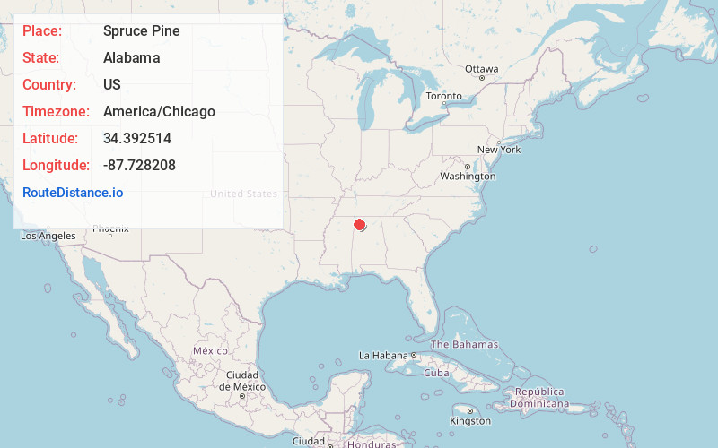
Full AddressSpruce Pine, AL
-
Coordinates34.3925138, -87.7282079
-
LocationSpruce Pine , Alabama , US
-
TimezoneAmerica/Chicago
-
Current Local Time10:21:20 PM America/ChicagoMonday, May 19, 2025
-
Page Views0
About Spruce Pine
Spruce Pine is a census-designated place and unincorporated community in Franklin County, Alabama, United States. Its population was 222 as of the 2010 census.
Nearby Places
Found 10 places within 50 miles

Phil Campbell
3.1 mi
5.0 km
Phil Campbell, AL 35581
Get directions

Russellville
8.0 mi
12.9 km
Russellville, AL
Get directions

Bear Creek
8.3 mi
13.4 km
Bear Creek, AL
Get directions

Hackleburg
9.8 mi
15.8 km
Hackleburg, AL 35564
Get directions

Hodges
12.2 mi
19.6 km
Hodges, AL 35571
Get directions

Haleyville
13.0 mi
20.9 km
Haleyville, AL 35565
Get directions

Littleville
14.3 mi
23.0 km
Littleville, AL
Get directions
Vina
18.9 mi
30.4 km
Vina, AL
Get directions

Hatton
21.4 mi
34.4 km
Hatton, AL 35672
Get directions

Hamilton
22.8 mi
36.7 km
Hamilton, AL
Get directions
Location Links
Local Weather
Weather Information
Coming soon!
Location Map
Static map view of Spruce Pine, Alabama
Browse Places by Distance
Places within specific distances from Spruce Pine
Short Distances
Long Distances
Click any distance to see all places within that range from Spruce Pine. Distances shown in miles (1 mile ≈ 1.61 kilometers).