Distance to and from St Agatha, Maine
St Agatha, ME
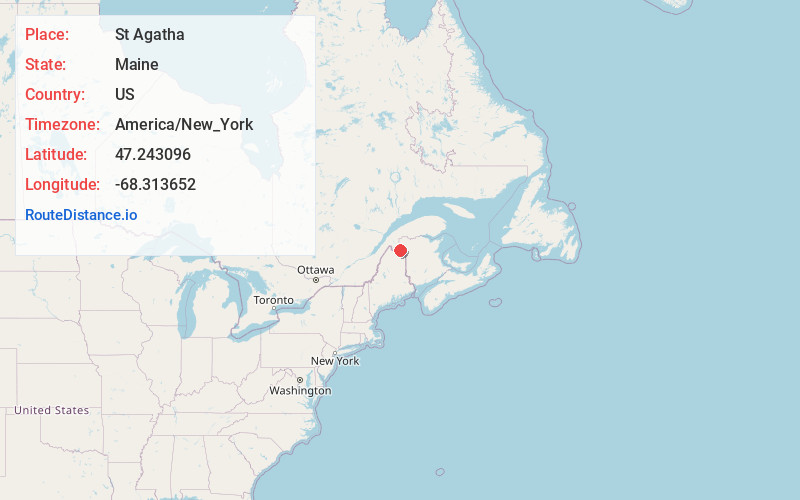
St Agatha
Maine
US
America/New_York
Location Information
-
Full AddressSt Agatha, ME
-
Coordinates47.2430959, -68.3136517
-
LocationSt Agatha , Maine , US
-
TimezoneAmerica/New_York
-
Current Local Time8:47:22 AM America/New_YorkTuesday, May 6, 2025
-
Page Views0
Directions to Nearest Cities
About St Agatha
St. Agatha is a town in Aroostook County, Maine, United States. The population was 730 at the 2020 census.
Nearby Places
Found 10 places within 50 miles

Frenchville
4.1 mi
6.6 km
Frenchville, ME
Get directions

Madawaska
7.8 mi
12.6 km
Madawaska, ME
Get directions

Fort Kent
13.0 mi
20.9 km
Fort Kent, ME 04743
Get directions

Van Buren
18.7 mi
30.1 km
Van Buren, ME
Get directions

Woodland
26.5 mi
42.6 km
Woodland, ME 04736
Get directions

Caribou
30.1 mi
48.4 km
Caribou, ME 04736
Get directions

Washburn
32.3 mi
52.0 km
Washburn, ME
Get directions

Limestone
32.6 mi
52.5 km
Limestone, ME
Get directions

Mapleton
39.4 mi
63.4 km
Mapleton, ME
Get directions

Fort Fairfield
39.5 mi
63.6 km
Fort Fairfield, ME
Get directions
Frenchville
4.1 mi
6.6 km
Frenchville, ME
Madawaska
7.8 mi
12.6 km
Madawaska, ME
Fort Kent
13.0 mi
20.9 km
Fort Kent, ME 04743
Van Buren
18.7 mi
30.1 km
Van Buren, ME
Woodland
26.5 mi
42.6 km
Woodland, ME 04736
Caribou
30.1 mi
48.4 km
Caribou, ME 04736
Washburn
32.3 mi
52.0 km
Washburn, ME
Limestone
32.6 mi
52.5 km
Limestone, ME
Mapleton
39.4 mi
63.4 km
Mapleton, ME
Fort Fairfield
39.5 mi
63.6 km
Fort Fairfield, ME
Location Links
Local Weather
Weather Information
Coming soon!
Location Map
Static map view of St Agatha, Maine
Browse Places by Distance
Places within specific distances from St Agatha
Short Distances
Long Distances
Click any distance to see all places within that range from St Agatha. Distances shown in miles (1 mile ≈ 1.61 kilometers).