Distance to St Ignace Township, Michigan

Calculating Your Route
Just a moment while we process your request...
Location Information
-
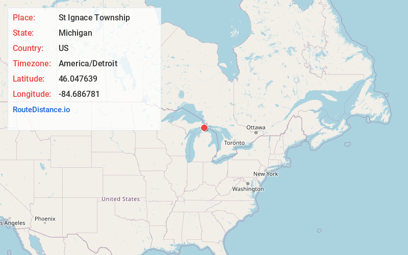
Full AddressSt Ignace Township, MI
-
Coordinates46.047639, -84.6867812
-
LocationSt Ignace Township , Michigan , US
-
TimezoneAmerica/Detroit
-
Current Local Time12:28:49 PM America/DetroitMonday, May 19, 2025
-
Page Views0
About St Ignace Township
St. Ignace Township is a civil township of Mackinac County in the U.S. state of Michigan. As of the 2020 census, the township population was 973.
The city of St. Ignace borders the township on the south, but the two are administered autonomously.


Nearby Places
Found 10 places within 50 miles

Pontchartrain Shores
4.7 mi
7.6 km
Pontchartrain Shores, MI 49745
Get directions
Simmons
5.5 mi
8.9 km
Simmons, MI 49745
Get directions
Allenville
7.8 mi
12.6 km
Allenville, MI 49760
Get directions

Brevort Township
8.3 mi
13.4 km
Brevort Township, MI
Get directions

Rudyard Township
10.6 mi
17.1 km
Rudyard Township, MI
Get directions

Fibre
11.1 mi
17.9 km
Fibre, MI 49780
Get directions
Dryburg
11.3 mi
18.2 km
Dryburg, MI 49780
Get directions

Dick
12.1 mi
19.5 km
Dick, MI 49780
Get directions

St Ignace
12.1 mi
19.5 km
St Ignace, MI 49781
Get directions
Kenneth
12.2 mi
19.6 km
Kenneth, MI 49760
Get directions
Location Links
Local Weather
Weather Information
Coming soon!
Location Map
Static map view of St Ignace Township, Michigan
Browse Places by Distance
Places within specific distances from St Ignace Township
Short Distances
Long Distances
Click any distance to see all places within that range from St Ignace Township. Distances shown in miles (1 mile ≈ 1.61 kilometers).