Distance to St Johns, Arizona

Calculating Your Route
Just a moment while we process your request...
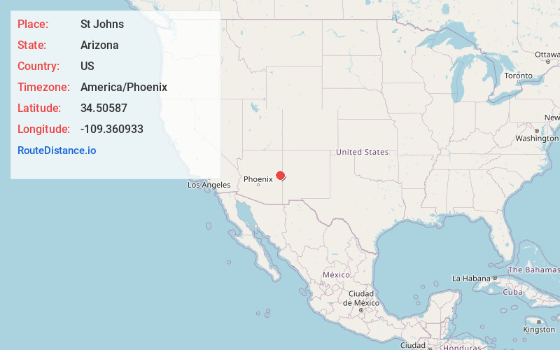
Location Information
-
Full AddressSt Johns, AZ 85936
-
Coordinates34.5058698, -109.3609327
-
LocationSt Johns , Arizona , US
-
TimezoneAmerica/Phoenix
-
Current Local Time4:37:49 AM America/PhoenixMonday, June 2, 2025
-
Website
-
Page Views0
About St Johns
St. Johns is the county seat of Apache County, Arizona, United States. It is located along U.S. Route 180, mostly west of where that highway intersects with U.S. Route 191. As of the 2010 census, the population of the city was 3,480.


Nearby Places
Found 6 places within 50 miles

Eagar
27.6 mi
44.4 km
Eagar, AZ
Get directions

Snowflake
40.9 mi
65.8 km
Snowflake, AZ 85937
Get directions

Taylor
41.7 mi
67.1 km
Taylor, AZ
Get directions

Show Low
41.9 mi
67.4 km
Show Low, AZ
Get directions

Pinetop-Lakeside
42.4 mi
68.2 km
Pinetop-Lakeside, AZ
Get directions

Zuni
48.6 mi
78.2 km
Zuni, NM
Get directions
Location Links
Local Weather
Weather Information
Coming soon!
Location Map
Static map view of St Johns, Arizona
Browse Places by Distance
Places within specific distances from St Johns
Short Distances
Long Distances
Click any distance to see all places within that range from St Johns. Distances shown in miles (1 mile ≈ 1.61 kilometers).