Distance to St Paul, Ohio

Calculating Your Route
Just a moment while we process your request...
Location Information
-
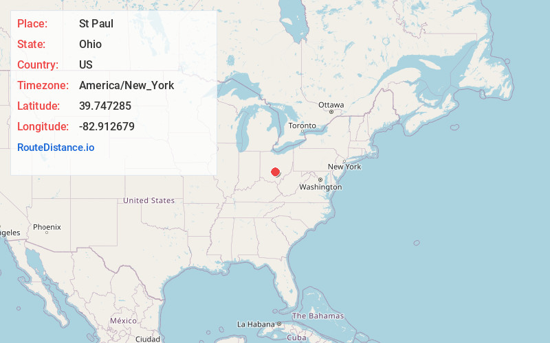
Full AddressSt Paul, Madison Township, OH 43103
-
Coordinates39.7472854, -82.9126787
-
LocationMadison Township , Ohio , US
-
TimezoneAmerica/New_York
-
Current Local Time11:43:29 AM America/New_YorkFriday, June 20, 2025
-
Page Views0
Nearby Places
Found 10 places within 50 miles

Duvall
2.9 mi
4.7 km
Duvall, Harrison Township, OH 43103
Get directions

Ashville
3.1 mi
5.0 km
Ashville, OH 43103
Get directions

South Bloomfield
4.4 mi
7.1 km
South Bloomfield, OH
Get directions

Lockbourne
5.2 mi
8.4 km
Lockbourne, OH 43137
Get directions
East Ringgold
6.0 mi
9.7 km
East Ringgold, Walnut Township, OH 43113
Get directions

Lithopolis
6.8 mi
10.9 km
Lithopolis, OH
Get directions
Cedar Hill
6.9 mi
11.1 km
Cedar Hill, Amanda Township, OH 43102
Get directions
Greencastle
8.3 mi
13.4 km
Greencastle, Bloom Township, OH 43112
Get directions
Knollwood Village
8.7 mi
14.0 km
Knollwood Village, Washington Township, OH 43113
Get directions

Canal Winchester
8.7 mi
14.0 km
Canal Winchester, OH
Get directions
Location Links
Local Weather
Weather Information
Coming soon!
Location Map
Static map view of St Paul, Ohio
Browse Places by Distance
Places within specific distances from St Paul
Short Distances
Long Distances
Click any distance to see all places within that range from St Paul. Distances shown in miles (1 mile ≈ 1.61 kilometers).