Distance to Lithopolis, Ohio

Calculating Your Route
Just a moment while we process your request...
Location Information
-
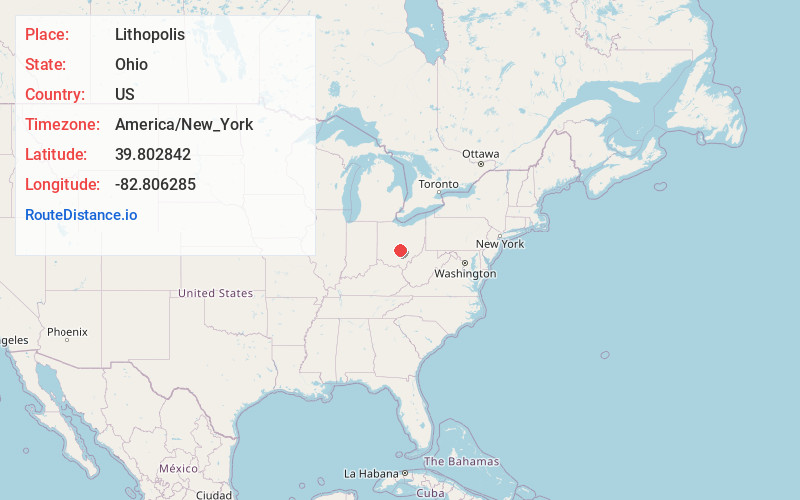
Full AddressLithopolis, OH
-
Coordinates39.8028415, -82.8062848
-
LocationLithopolis , Ohio , US
-
TimezoneAmerica/New_York
-
Current Local Time6:39:14 PM America/New_YorkFriday, June 20, 2025
-
Page Views0
About Lithopolis
Lithopolis is a village in Fairfield and Franklin counties in the U.S. state of Ohio. The population was 2,134 at the 2020 census.

Nearby Places
Found 10 places within 50 miles

Canal Winchester
2.8 mi
4.5 km
Canal Winchester, OH
Get directions

Pickerington
6.3 mi
10.1 km
Pickerington, OH
Get directions

Ashville
9.9 mi
15.9 km
Ashville, OH 43103
Get directions

Reynoldsburg
10.5 mi
16.9 km
Reynoldsburg, OH
Get directions

South Bloomfield
11.2 mi
18.0 km
South Bloomfield, OH
Get directions

Baltimore
11.3 mi
18.2 km
Baltimore, OH 43105
Get directions

Whitehall
12.1 mi
19.5 km
Whitehall, OH
Get directions

Lancaster
12.5 mi
20.1 km
Lancaster, OH 43130
Get directions

Bexley
13.4 mi
21.6 km
Bexley, OH 43209
Get directions

Pataskala
15.0 mi
24.1 km
Pataskala, OH
Get directions
Location Links
Local Weather
Weather Information
Coming soon!
Location Map
Static map view of Lithopolis, Ohio
Browse Places by Distance
Places within specific distances from Lithopolis
Short Distances
Long Distances
Click any distance to see all places within that range from Lithopolis. Distances shown in miles (1 mile ≈ 1.61 kilometers).