Distance to St Wendel, Indiana

Calculating Your Route
Just a moment while we process your request...
Location Information
-
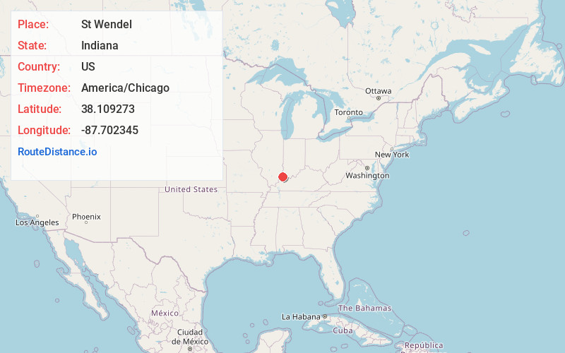
Full AddressSt Wendel, IN
-
Coordinates38.1092728, -87.7023453
-
LocationSt Wendel , Indiana , US
-
TimezoneAmerica/Chicago
-
Current Local Time10:02:53 AM America/ChicagoWednesday, June 4, 2025
-
Page Views0
About St Wendel
Saint Wendel is an unincorporated community located on the Vanderburgh-Posey county line in the U.S. state of Indiana. It occupies small portions of two townships-- Armstrong and Robinson.
Nearby Places
Found 10 places within 50 miles

Poseyville
6.1 mi
9.8 km
Poseyville, IN 47633
Get directions

Darmstadt
6.7 mi
10.8 km
Darmstadt, IN
Get directions

Haubstadt
9.5 mi
15.3 km
Haubstadt, IN 47639
Get directions

Owensville
11.3 mi
18.2 km
Owensville, IN 47665
Get directions
Melody Hill
11.7 mi
18.8 km
Melody Hill, IN 47711
Get directions

Fort Branch
11.8 mi
19.0 km
Fort Branch, IN 47648
Get directions

Evansville
11.9 mi
19.2 km
Evansville, IN
Get directions

Elberfeld
14.2 mi
22.9 km
Elberfeld, IN 47613
Get directions

Mt Vernon
16.1 mi
25.9 km
Mt Vernon, IN 47620
Get directions

Princeton
18.5 mi
29.8 km
Princeton, IN 47670
Get directions
Location Links
Local Weather
Weather Information
Coming soon!
Location Map
Static map view of St Wendel, Indiana
Browse Places by Distance
Places within specific distances from St Wendel
Short Distances
Long Distances
Click any distance to see all places within that range from St Wendel. Distances shown in miles (1 mile ≈ 1.61 kilometers).