Distance to St Wendel, Minnesota

Calculating Your Route
Just a moment while we process your request...
Location Information
-
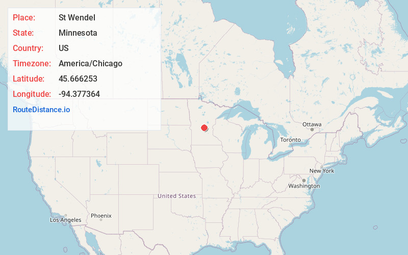
Full AddressSt Wendel, MN 56310
-
Coordinates45.666253, -94.377364
-
LocationSt Wendel , Minnesota , US
-
TimezoneAmerica/Chicago
-
Current Local Time3:28:59 PM America/ChicagoThursday, June 26, 2025
-
Page Views0
Nearby Places
Found 10 places within 50 miles

St Anna
4.7 mi
7.6 km
St Anna, MN 56310
Get directions

Avon
5.3 mi
8.5 km
Avon, MN
Get directions

St Stephen
5.6 mi
9.0 km
St Stephen, MN
Get directions

Holdingford
6.3 mi
10.1 km
Holdingford, MN 56340
Get directions

St Joseph
7.6 mi
12.2 km
St Joseph, MN
Get directions

Sartell
8.8 mi
14.2 km
Sartell, MN
Get directions

Rice
9.6 mi
15.4 km
Rice, MN 56367
Get directions

Albany
9.6 mi
15.4 km
Albany, MN 56307
Get directions

Waite Park
10.6 mi
17.1 km
Waite Park, MN
Get directions

Bowlus
10.7 mi
17.2 km
Bowlus, MN
Get directions
Location Links
Local Weather
Weather Information
Coming soon!
Location Map
Static map view of St Wendel, Minnesota
Browse Places by Distance
Places within specific distances from St Wendel
Short Distances
Long Distances
Click any distance to see all places within that range from St Wendel. Distances shown in miles (1 mile ≈ 1.61 kilometers).