Distance to Stacy, Arkansas

Calculating Your Route
Just a moment while we process your request...
Location Information
-
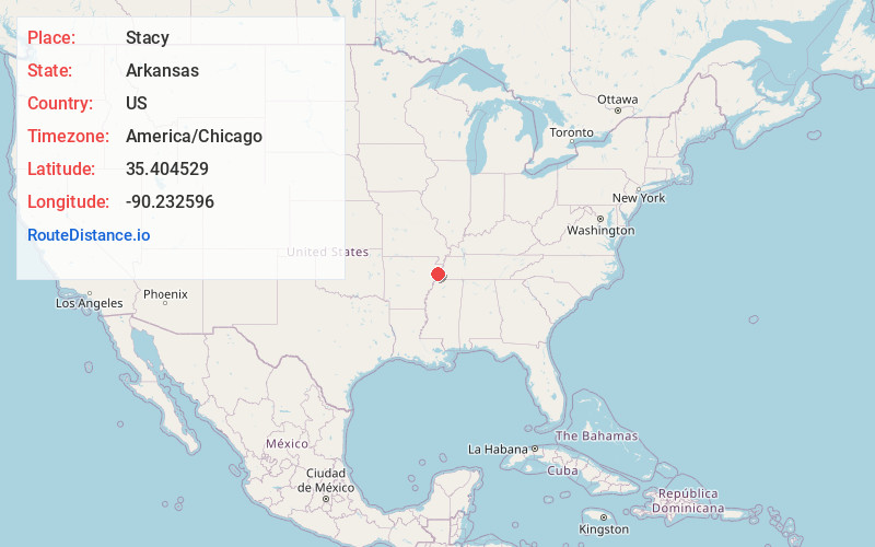
Full AddressStacy, AR 72384
-
Coordinates35.4045293, -90.2325957
-
LocationArkansas , US
-
TimezoneAmerica/Chicago
-
Current Local Time10:48:30 PM America/ChicagoFriday, June 20, 2025
-
Page Views0
Nearby Places
Found 10 places within 50 miles

Turrell
2.6 mi
4.2 km
Turrell, AR 72384
Get directions

Gilmore
2.7 mi
4.3 km
Gilmore, AR
Get directions

Birdsong
4.1 mi
6.6 km
Birdsong, AR 72386
Get directions
Deckerville
5.0 mi
8.0 km
Deckerville, AR 72386
Get directions
Denwood
5.9 mi
9.5 km
Denwood, AR 72386
Get directions

Clarkedale
6.6 mi
10.6 km
Clarkedale, AR
Get directions
Chelford
7.8 mi
12.6 km
Chelford, AR 72386
Get directions
Jericho
8.0 mi
12.9 km
Jericho, AR 72327
Get directions

Joiner
8.5 mi
13.7 km
Joiner, AR 72350
Get directions

Tyronza
9.2 mi
14.8 km
Tyronza, AR 72386
Get directions
Location Links
Local Weather
Weather Information
Coming soon!
Location Map
Static map view of Stacy, Arkansas
Browse Places by Distance
Places within specific distances from Stacy
Short Distances
Long Distances
Click any distance to see all places within that range from Stacy. Distances shown in miles (1 mile ≈ 1.61 kilometers).