Distance to Stacyville, Iowa

Calculating Your Route
Just a moment while we process your request...
Location Information
-
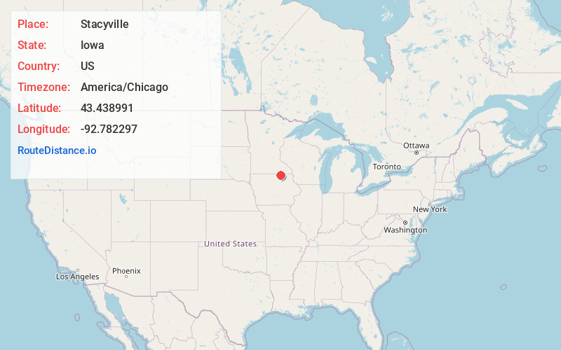
Full AddressStacyville, IA 50476
-
Coordinates43.4389912, -92.7822974
-
LocationStacyville , Iowa , US
-
TimezoneAmerica/Chicago
-
Current Local Time12:11:15 PM America/ChicagoTuesday, June 3, 2025
-
Page Views0
About Stacyville
Stacyville is a city in Mitchell County, Iowa, United States. The population was 458 at the time of the 2020 census.

Nearby Places
Found 10 places within 50 miles

St Ansgar
8.1 mi
13.0 km
St Ansgar, IA 50472
Get directions
Adams
9.3 mi
15.0 km
Adams, MN 55909
Get directions
Lyle
9.3 mi
15.0 km
Lyle, MN 55953
Get directions

Osage
10.9 mi
17.5 km
Osage, IA 50461
Get directions

Riceville
12.6 mi
20.3 km
Riceville, IA 50466
Get directions

Le Roy
14.8 mi
23.8 km
Le Roy, MN 55951
Get directions

Austin
18.4 mi
29.6 km
Austin, MN 55912
Get directions

Grand Meadow
21.2 mi
34.1 km
Grand Meadow, MN 55936
Get directions
Brownsdale
21.3 mi
34.3 km
Brownsdale, MN 55918
Get directions

Elma
21.9 mi
35.2 km
Elma, IA 50628
Get directions
Location Links
Local Weather
Weather Information
Coming soon!
Location Map
Static map view of Stacyville, Iowa
Browse Places by Distance
Places within specific distances from Stacyville
Short Distances
Long Distances
Click any distance to see all places within that range from Stacyville. Distances shown in miles (1 mile ≈ 1.61 kilometers).