Distance to Stampley, Mississippi

Calculating Your Route
Just a moment while we process your request...
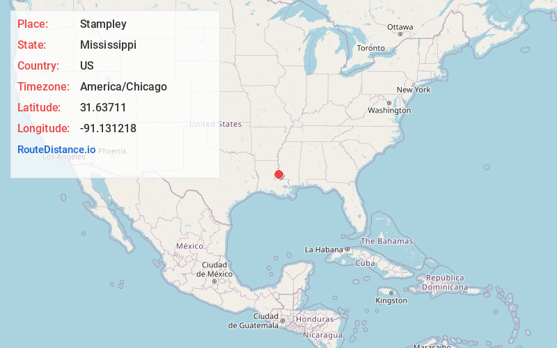
Location Information
-
Full AddressStampley, MS 39069
-
Coordinates31.6371102, -91.1312178
-
LocationMississippi , US
-
TimezoneAmerica/Chicago
-
Current Local Time9:28:39 AM America/ChicagoMonday, June 23, 2025
-
Page Views0
Nearby Places
Found 10 places within 50 miles

Cannonsburg
4.7 mi
7.6 km
Cannonsburg, MS 39120
Get directions
Stanton
6.6 mi
10.6 km
Stanton, MS 39120
Get directions

Fayette
6.6 mi
10.6 km
Fayette, MS 39069
Get directions
Orange
8.3 mi
13.4 km
Orange, MS 39661
Get directions
Harriston
8.4 mi
13.5 km
Harriston, MS 39069
Get directions
Selma
9.0 mi
14.5 km
Selma, MS 39120
Get directions
Roxie
9.9 mi
15.9 km
Roxie, MS 39661
Get directions
Washington
10.7 mi
17.2 km
Washington, MS 39120
Get directions

Homochitto National Forest
12.1 mi
19.5 km
Homochitto National Forest, Mississippi 39661
Get directions
White Apple
12.9 mi
20.8 km
White Apple, MS 39661
Get directions
Location Links
Local Weather
Weather Information
Coming soon!
Location Map
Static map view of Stampley, Mississippi
Browse Places by Distance
Places within specific distances from Stampley
Short Distances
Long Distances
Click any distance to see all places within that range from Stampley. Distances shown in miles (1 mile ≈ 1.61 kilometers).