Distance to Stanfill, Kentucky

Calculating Your Route
Just a moment while we process your request...
Location Information
-
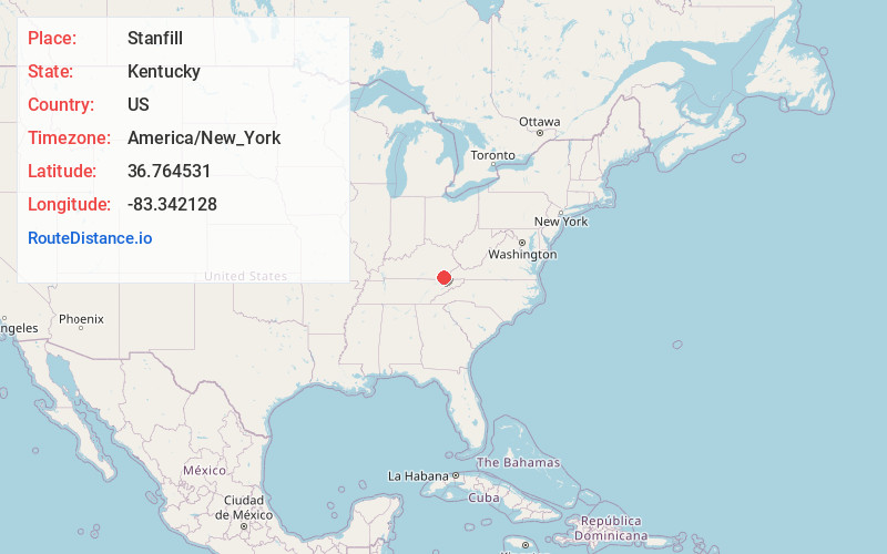
Full AddressStanfill, KY 40830
-
Coordinates36.7645314, -83.3421277
-
LocationKentucky , US
-
TimezoneAmerica/New_York
-
Current Local Time8:36:10 PM America/New_YorkTuesday, June 17, 2025
-
Page Views0
About Stanfill
Stanfill is an unincorporated community and coal town in Harlan County, Kentucky, United States.
Nearby Places
Found 10 places within 50 miles

Bardo
0.3 mi
0.5 km
Bardo, KY 40831
Get directions
Liggett
0.9 mi
1.4 km
Liggett, KY 40831
Get directions
Yancey
1.2 mi
1.9 km
Yancey, KY 40830
Get directions
Mary Alice
1.5 mi
2.4 km
Mary Alice, KY 40830
Get directions
Twila
2.9 mi
4.7 km
Twila, KY 40873
Get directions
Teetersville
3.4 mi
5.5 km
Teetersville, KY 40831
Get directions
Kentenia
3.9 mi
6.3 km
Kentenia, KY 40873
Get directions
Elcomb
4.0 mi
6.4 km
Elcomb, KY 40831
Get directions
Sampson
4.4 mi
7.1 km
Sampson, KY 40831
Get directions
Three Point
4.5 mi
7.2 km
Three Point, KY 40815
Get directions
Location Links
Local Weather
Weather Information
Coming soon!
Location Map
Static map view of Stanfill, Kentucky
Browse Places by Distance
Places within specific distances from Stanfill
Short Distances
Long Distances
Click any distance to see all places within that range from Stanfill. Distances shown in miles (1 mile ≈ 1.61 kilometers).