Distance to Stannard, Vermont

Calculating Your Route
Just a moment while we process your request...
Location Information
-
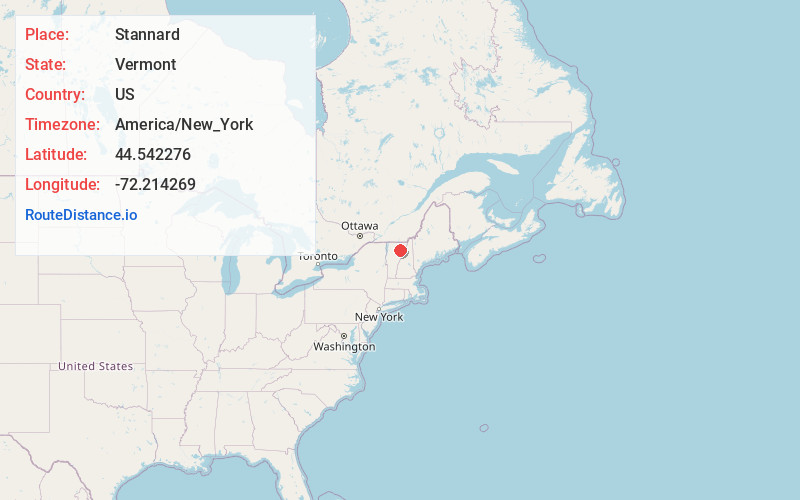
Full AddressStannard, VT
-
Coordinates44.5422759, -72.2142686
-
LocationStannard , Vermont , US
-
TimezoneAmerica/New_York
-
Current Local Time2:22:44 AM America/New_YorkFriday, June 20, 2025
-
Page Views0
About Stannard
Stannard is a town in Caledonia County, Vermont. The population was 208 at the 2020 census. The town has no paved roads.


Nearby Places
Found 10 places within 50 miles

Walden
6.4 mi
10.3 km
Walden, VT
Get directions
Sheffield
6.4 mi
10.3 km
Sheffield, VT
Get directions

Greensboro
6.5 mi
10.5 km
Greensboro, VT
Get directions

Hardwick
6.6 mi
10.6 km
Hardwick, VT
Get directions

Wheelock
7.0 mi
11.3 km
Wheelock, VT
Get directions

Danville
9.7 mi
15.6 km
Danville, VT
Get directions
Craftsbury
10.2 mi
16.4 km
Craftsbury, VT
Get directions

Lyndon
10.6 mi
17.1 km
Lyndon, VT
Get directions

Cabot
10.9 mi
17.5 km
Cabot, VT
Get directions

Sutton
11.2 mi
18.0 km
Sutton, VT
Get directions
Location Links
Local Weather
Weather Information
Coming soon!
Location Map
Static map view of Stannard, Vermont
Browse Places by Distance
Places within specific distances from Stannard
Short Distances
Long Distances
Click any distance to see all places within that range from Stannard. Distances shown in miles (1 mile ≈ 1.61 kilometers).