Distance to Stanton, California

Calculating Your Route
Just a moment while we process your request...
Location Information
-
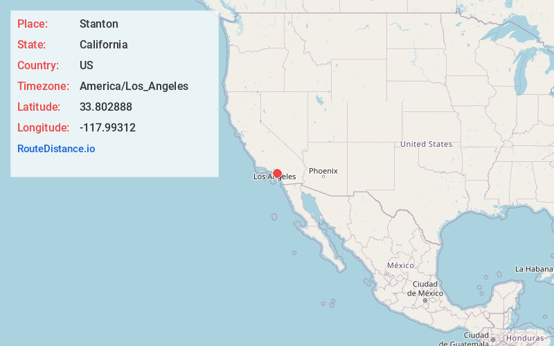
Full AddressStanton, CA
-
Coordinates33.8028875, -117.9931203
-
LocationStanton , California , US
-
TimezoneAmerica/Los_Angeles
-
Current Local Time6:17:32 PM America/Los_AngelesFriday, June 20, 2025
-
Website
-
Page Views0
About Stanton
Stanton is a city in northern Orange County, California, United States, within the Los Angeles metropolitan area. The population was 37,962 at the 2020 United States census. The city was incorporated in 1956 and operates under the council–manager form of government, providing a full range of municipal services.


Nearby Places
Found 10 places within 50 miles

Cypress
2.7 mi
4.3 km
Cypress, CA
Get directions

Westminster
3.0 mi
4.8 km
Westminster, CA
Get directions

Garden Grove
3.7 mi
6.0 km
Garden Grove, CA
Get directions

Buena Park
4.5 mi
7.2 km
Buena Park, CA
Get directions

Anaheim
5.1 mi
8.2 km
Anaheim, CA
Get directions

Cerritos
6.0 mi
9.7 km
Cerritos, CA
Get directions

Fullerton
6.1 mi
9.8 km
Fullerton, CA
Get directions

Fountain Valley
6.9 mi
11.1 km
Fountain Valley, CA 92708
Get directions

La Mirada
8.0 mi
12.9 km
La Mirada, CA
Get directions

Orange
8.0 mi
12.9 km
Orange, CA
Get directions
Location Links
Local Weather
Weather Information
Coming soon!
Location Map
Static map view of Stanton, California
Browse Places by Distance
Places within specific distances from Stanton
Short Distances
Long Distances
Click any distance to see all places within that range from Stanton. Distances shown in miles (1 mile ≈ 1.61 kilometers).