Distance to Staples, Louisiana

Calculating Your Route
Just a moment while we process your request...
Location Information
-
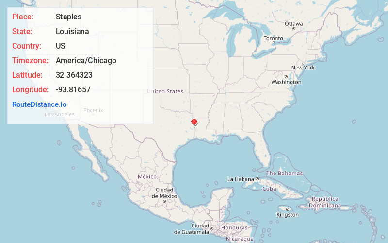
Full AddressStaples, LA 71047
-
Coordinates32.3643229, -93.8165697
-
LocationLouisiana , US
-
TimezoneAmerica/Chicago
-
Current Local Time9:18:31 AM America/ChicagoSaturday, May 31, 2025
-
Page Views0
Nearby Places
Found 10 places within 50 miles

Keithville
2.3 mi
3.7 km
Keithville, LA 71047
Get directions

Stonewall
5.7 mi
9.2 km
Stonewall, LA 71078
Get directions

Lake Hayes
7.1 mi
11.4 km
Lake Hayes, LA 71129
Get directions
Spring Ridge
8.3 mi
13.4 km
Spring Ridge, LA 71129
Get directions
Preston
8.3 mi
13.4 km
Preston, LA 71047
Get directions
Dixie Gardens
9.1 mi
14.6 km
Dixie Gardens, LA 71105
Get directions
Robson
10.1 mi
16.3 km
Robson, LA 71115
Get directions

Greenwood
10.6 mi
17.1 km
Greenwood, LA
Get directions

Frierson
10.7 mi
17.2 km
Frierson, LA 71027
Get directions

Shreveport
11.0 mi
17.7 km
Shreveport, LA
Get directions
Location Links
Local Weather
Weather Information
Coming soon!
Location Map
Static map view of Staples, Louisiana
Browse Places by Distance
Places within specific distances from Staples
Short Distances
Long Distances
Click any distance to see all places within that range from Staples. Distances shown in miles (1 mile ≈ 1.61 kilometers).