Distance to Stark County, Illinois

Calculating Your Route
Just a moment while we process your request...
Location Information
-
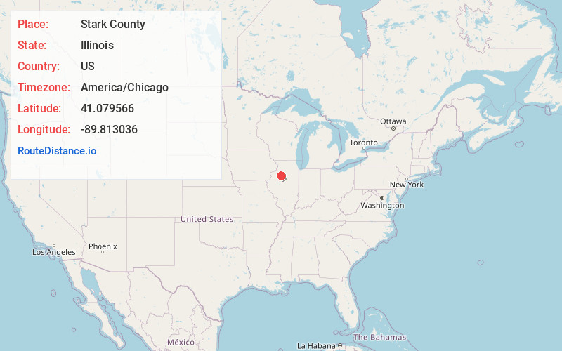
Full AddressStark County, IL
-
Coordinates41.0795661, -89.8130356
-
LocationIllinois , US
-
TimezoneAmerica/Chicago
-
Current Local Time11:07:42 AM America/ChicagoMonday, June 23, 2025
-
Page Views0
About Stark County
Stark County is a county in Illinois. According to the 2020 census, it had a population of 5,400. Its county seat is Toulon. Stark County is part of the Peoria, IL Metropolitan Statistical Area.

Nearby Places
Found 10 places within 50 miles

Wyoming
2.4 mi
3.9 km
Wyoming, IL 61491
Get directions
Toulon
2.9 mi
4.7 km
Toulon, IL 61483
Get directions

La Fayette
8.6 mi
13.8 km
La Fayette, IL 61449
Get directions

Osceola
9.4 mi
15.1 km
Osceola, IL 61483
Get directions
Bradford
10.5 mi
16.9 km
Bradford, IL 61421
Get directions
Speer
10.6 mi
17.1 km
Speer, IL 61479
Get directions

Princeville
10.7 mi
17.2 km
Princeville, IL 61559
Get directions
Laura
12.4 mi
20.0 km
Laura, IL 61451
Get directions

Kewanee
12.9 mi
20.8 km
Kewanee, IL 61443
Get directions

Galva
13.4 mi
21.6 km
Galva, IL 61434
Get directions
Location Links
Local Weather
Weather Information
Coming soon!
Location Map
Static map view of Stark County, Illinois
Browse Places by Distance
Places within specific distances from Stark County
Short Distances
Long Distances
Click any distance to see all places within that range from Stark County. Distances shown in miles (1 mile ≈ 1.61 kilometers).