Distance to Wyoming, Illinois

Calculating Your Route
Just a moment while we process your request...
Location Information
-
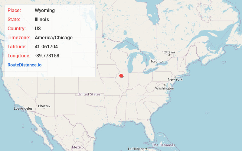
Full AddressWyoming, IL 61491
-
Coordinates41.0617037, -89.7731578
-
LocationWyoming , Illinois , US
-
TimezoneAmerica/Chicago
-
Current Local Time4:17:37 AM America/ChicagoSaturday, June 7, 2025
-
Website
-
Page Views0
About Wyoming
Wyoming is a city in Stark County, Illinois, United States. The population was 1,429 at the 2010 census, up from 1,424 in 2000. It is the headquarters of the Rock Island Trail State Park. Wyoming is part of the Peoria, Illinois Metropolitan Statistical Area.


Nearby Places
Found 10 places within 50 miles

Princeville
9.2 mi
14.8 km
Princeville, IL 61559
Get directions

Kewanee
15.0 mi
24.1 km
Kewanee, IL 61443
Get directions

Galva
15.8 mi
25.4 km
Galva, IL 61434
Get directions

Chillicothe
17.8 mi
28.6 km
Chillicothe, IL 61523
Get directions

Lacon
19.2 mi
30.9 km
Lacon, IL
Get directions

Henry
22.0 mi
35.4 km
Henry, IL 61537
Get directions

Elmwood
22.1 mi
35.6 km
Elmwood, IL
Get directions

Peoria Heights
24.1 mi
38.8 km
Peoria Heights, IL
Get directions

Germantown Hills
25.9 mi
41.7 km
Germantown Hills, IL 61548
Get directions
Bellevue
26.5 mi
42.6 km
Bellevue, IL
Get directions
Location Links
Local Weather
Weather Information
Coming soon!
Location Map
Static map view of Wyoming, Illinois
Browse Places by Distance
Places within specific distances from Wyoming
Short Distances
Long Distances
Click any distance to see all places within that range from Wyoming. Distances shown in miles (1 mile ≈ 1.61 kilometers).