Distance to Starr, Florida

Calculating Your Route
Just a moment while we process your request...
Location Information
-
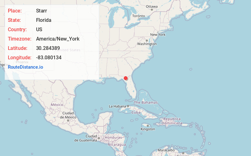
Full AddressStarr, FL 32060
-
Coordinates30.2843889, -83.0801342
-
LocationFlorida , US
-
TimezoneAmerica/New_York
-
Current Local Time5:27:35 AM America/New_YorkWednesday, June 18, 2025
-
Page Views0
Nearby Places
Found 10 places within 50 miles

Mercer
2.1 mi
3.4 km
Mercer, FL 32060
Get directions
Newburn
3.7 mi
6.0 km
Newburn, FL 32060
Get directions
Dickert
3.8 mi
6.1 km
Dickert, FL 32060
Get directions

Live Oak
5.8 mi
9.3 km
Live Oak, FL
Get directions
Padlock
7.7 mi
12.4 km
Padlock, FL 32060
Get directions
Rixford
8.4 mi
13.5 km
Rixford, FL 32060
Get directions
Ellaville
8.7 mi
14.0 km
Ellaville, FL 32060
Get directions
Fort Union
8.7 mi
14.0 km
Fort Union, FL 32060
Get directions

Dowling Park
9.7 mi
15.6 km
Dowling Park, FL 32060
Get directions
Houston
10.8 mi
17.4 km
Houston, FL 32060
Get directions
Location Links
Local Weather
Weather Information
Coming soon!
Location Map
Static map view of Starr, Florida
Browse Places by Distance
Places within specific distances from Starr
Short Distances
Long Distances
Click any distance to see all places within that range from Starr. Distances shown in miles (1 mile ≈ 1.61 kilometers).