Distance to State Line, Alabama

Calculating Your Route
Just a moment while we process your request...
Location Information
-
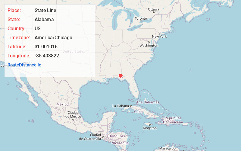
Full AddressState Line, AL 36320
-
Coordinates31.0010159, -85.4038219
-
LocationAlabama , US
-
TimezoneAmerica/Chicago
-
Current Local Time4:44:56 PM America/ChicagoThursday, June 26, 2025
-
Page Views0
Nearby Places
Found 10 places within 50 miles

Rambo
0.3 mi
0.5 km
Rambo, FL 32426
Get directions
Madrid
2.5 mi
4.0 km
Madrid, AL
Get directions
Campbellton
3.6 mi
5.8 km
Campbellton, FL
Get directions
Garretts Crossroads
3.7 mi
6.0 km
Garretts Crossroads, AL 36375
Get directions
Browntown
4.0 mi
6.4 km
Browntown, FL 32440
Get directions
Hodgesville
5.9 mi
9.5 km
Hodgesville, AL 36301
Get directions
Cottonwood
6.7 mi
10.8 km
Cottonwood, AL
Get directions
Jacob City
6.9 mi
11.1 km
Jacob City, FL 32431
Get directions

Graceville
7.3 mi
11.7 km
Graceville, FL 32440
Get directions
Merritts Crossroads
7.6 mi
12.2 km
Merritts Crossroads, AL 36375
Get directions
Location Links
Local Weather
Weather Information
Coming soon!
Location Map
Static map view of State Line, Alabama
Browse Places by Distance
Places within specific distances from State Line
Short Distances
Long Distances
Click any distance to see all places within that range from State Line. Distances shown in miles (1 mile ≈ 1.61 kilometers).