Distance to State Line, Louisiana

Calculating Your Route
Just a moment while we process your request...
Location Information
-
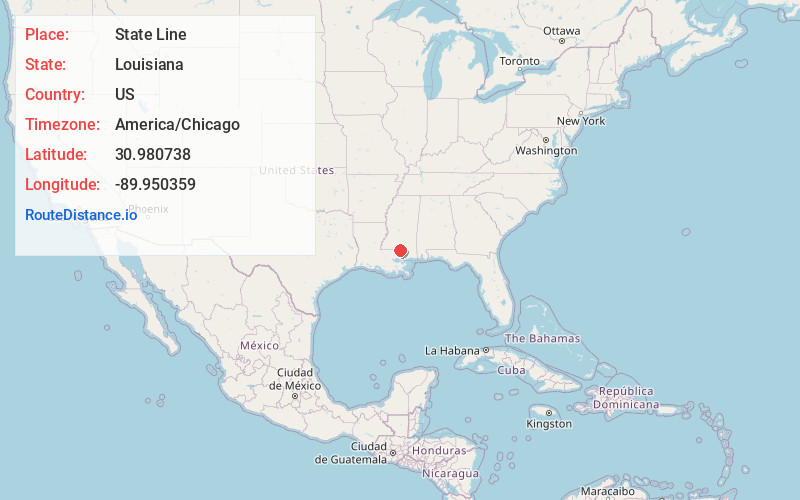
Full AddressState Line, LA 70438
-
Coordinates30.980738, -89.9503594
-
LocationLouisiana , US
-
TimezoneAmerica/Chicago
-
Current Local Time10:27:50 PM America/ChicagoThursday, June 19, 2025
-
Page Views0


Nearby Places
Found 10 places within 50 miles

Angie
8.4 mi
13.5 km
Angie, LA 70426
Get directions

Varnado
9.3 mi
15.0 km
Varnado, LA 70426
Get directions

Mildred
13.2 mi
21.2 km
Mildred, MS 39483
Get directions

Bogalusa
14.4 mi
23.2 km
Bogalusa, LA 70427
Get directions

Tylertown
14.7 mi
23.7 km
Tylertown, MS 39667
Get directions

Franklinton
15.2 mi
24.5 km
Franklinton, LA 70438
Get directions

Kokomo
15.3 mi
24.6 km
Kokomo, MS 39643
Get directions
Pine Cliff
17.1 mi
27.5 km
Pine Cliff, LA 70438
Get directions
Bickham
17.6 mi
28.3 km
Bickham, LA 70438
Get directions
Foxworth
18.1 mi
29.1 km
Foxworth, MS 39483
Get directions
Location Links
Local Weather
Weather Information
Coming soon!
Location Map
Static map view of State Line, Louisiana
Browse Places by Distance
Places within specific distances from State Line
Short Distances
Long Distances
Click any distance to see all places within that range from State Line. Distances shown in miles (1 mile ≈ 1.61 kilometers).