Distance to State Line, South Carolina

Calculating Your Route
Just a moment while we process your request...
Location Information
-
Full AddressState Line, SC 29341
-
Coordinates35.1768385, -81.7999998
-
LocationState Line , South Carolina , US
-
TimezoneAmerica/New_York
-
Current Local Time12:35:29 PM America/New_YorkFriday, June 20, 2025
-
Page Views0


Nearby Places
Found 10 places within 50 miles

Brice
3.0 mi
4.8 km
Brice, NC 28114
Get directions

Chesnee
3.9 mi
6.3 km
Chesnee, SC 29323
Get directions
Cliffside
4.6 mi
7.4 km
Cliffside, NC
Get directions
Arrowwood
4.8 mi
7.7 km
Arrowwood, SC 29323
Get directions
Henrietta
5.6 mi
9.0 km
Henrietta, NC
Get directions

Harris
6.2 mi
10.0 km
Harris, NC 28043
Get directions
Avondale
6.4 mi
10.3 km
Avondale, NC 28114
Get directions

Mayo Mills
6.5 mi
10.5 km
Mayo Mills, Mayo, SC 29330
Get directions
Caroleen
7.2 mi
11.6 km
Caroleen, NC
Get directions

Mayo
7.3 mi
11.7 km
Mayo, SC
Get directions
Location Links
Local Weather
Weather Information
Coming soon!
Location Map
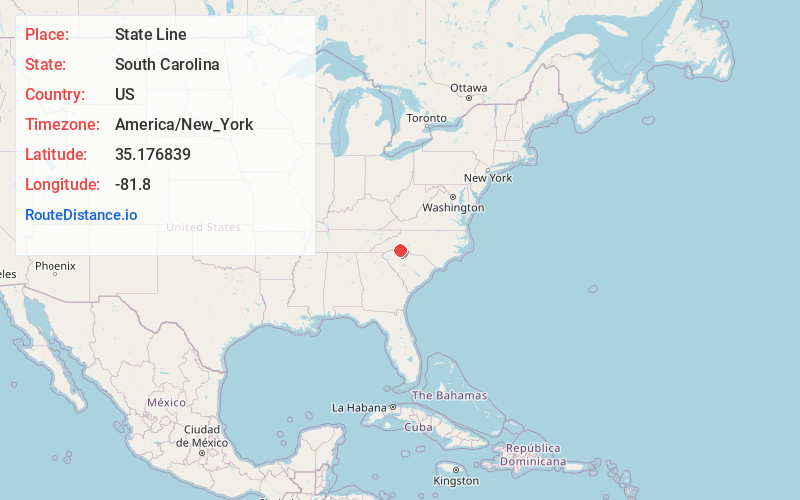
Static map view of State Line, South Carolina
Browse Places by Distance
Places within specific distances from State Line
Short Distances
Long Distances
Click any distance to see all places within that range from State Line. Distances shown in miles (1 mile ≈ 1.61 kilometers).