Distance to Caroleen, North Carolina

Calculating Your Route
Just a moment while we process your request...
Location Information
-
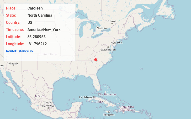
Full AddressCaroleen, NC
-
Coordinates35.2809558, -81.7962122
-
LocationCaroleen , North Carolina , US
-
TimezoneAmerica/New_York
-
Current Local Time5:53:54 PM America/New_YorkThursday, June 5, 2025
-
Page Views0
About Caroleen
Caroleen is an unincorporated community and census-designated place in southeastern Rutherford County, North Carolina, United States. Its population was 560 as of the 2020 census. Caroleen has a post office with ZIP code 28019. U.S. Route 221 Alternate passes through the community.
Nearby Places
Found 10 places within 50 miles

Cliffside
3.3 mi
5.3 km
Cliffside, NC
Get directions

Ellenboro
3.9 mi
6.3 km
Ellenboro, NC 28040
Get directions

Forest City
5.3 mi
8.5 km
Forest City, NC 28043
Get directions
Boiling Springs
7.5 mi
12.1 km
Boiling Springs, NC 28152
Get directions

Lattimore
8.1 mi
13.0 km
Lattimore, NC
Get directions

Spindale
9.3 mi
15.0 km
Spindale, NC
Get directions

Chesnee
9.8 mi
15.8 km
Chesnee, SC 29323
Get directions

Rutherfordton
10.9 mi
17.5 km
Rutherfordton, NC 28139
Get directions

Ruth
11.0 mi
17.7 km
Ruth, NC 28139
Get directions
Kingstown
11.4 mi
18.3 km
Kingstown, NC 28150
Get directions
Location Links
Local Weather
Weather Information
Coming soon!
Location Map
Static map view of Caroleen, North Carolina
Browse Places by Distance
Places within specific distances from Caroleen
Short Distances
Long Distances
Click any distance to see all places within that range from Caroleen. Distances shown in miles (1 mile ≈ 1.61 kilometers).