Distance to Spindale, North Carolina

Calculating Your Route
Just a moment while we process your request...
Location Information
-
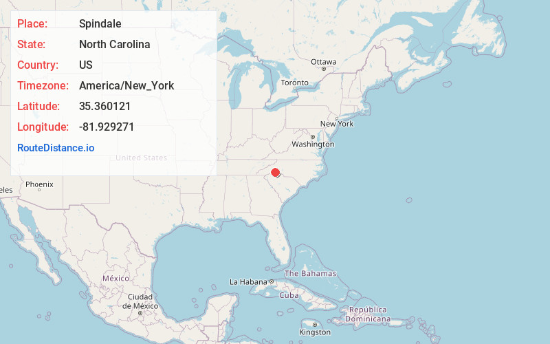
Full AddressSpindale, NC
-
Coordinates35.3601212, -81.929271
-
LocationSpindale , North Carolina , US
-
TimezoneAmerica/New_York
-
Current Local Time11:59:11 AM America/New_YorkThursday, June 12, 2025
-
Website
-
Page Views0
About Spindale
Spindale is a town in Rutherford County, North Carolina, United States. The population was 4,225 at the 2020 census.


Nearby Places
Found 10 places within 50 miles

Forest City
4.0 mi
6.4 km
Forest City, NC 28043
Get directions

Boiling Springs
16.5 mi
26.6 km
Boiling Springs, NC 28152
Get directions

Boiling Springs
21.9 mi
35.2 km
Boiling Springs, SC 29316
Get directions

Shelby
22.7 mi
36.5 km
Shelby, NC
Get directions

Marion
22.8 mi
36.7 km
Marion, NC 28752
Get directions
Valley Falls
23.9 mi
38.5 km
Valley Falls, SC
Get directions

Gaffney
25.4 mi
40.9 km
Gaffney, SC
Get directions

Spartanburg
28.2 mi
45.4 km
Spartanburg, SC
Get directions

Black Mountain
28.3 mi
45.5 km
Black Mountain, NC 28711
Get directions

Morganton
30.0 mi
48.3 km
Morganton, NC 28655
Get directions
Location Links
Local Weather
Weather Information
Coming soon!
Location Map
Static map view of Spindale, North Carolina
Browse Places by Distance
Places within specific distances from Spindale
Short Distances
Long Distances
Click any distance to see all places within that range from Spindale. Distances shown in miles (1 mile ≈ 1.61 kilometers).