Distance to State Line, Tennessee

Calculating Your Route
Just a moment while we process your request...
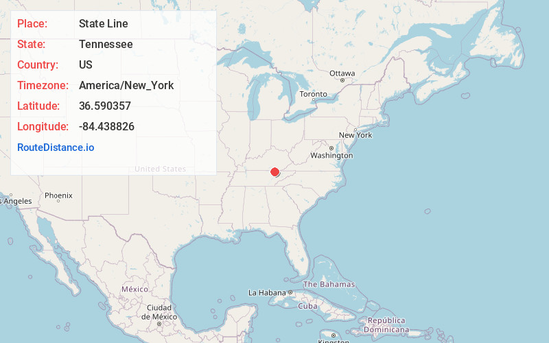
Location Information
-
Full AddressState Line, Winfield, TN 37892
-
Coordinates36.5903569, -84.4388263
-
LocationWinfield , Tennessee , US
-
TimezoneAmerica/New_York
-
Current Local Time8:53:58 AM America/New_YorkThursday, May 29, 2025
-
Page Views0

Nearby Places
Found 10 places within 50 miles

Clay Hill
2.2 mi
3.5 km
Clay Hill, TN 37892
Get directions

Strunk
2.2 mi
3.5 km
Strunk, KY 42649
Get directions

Winfield
2.5 mi
4.0 km
Winfield, TN
Get directions
Silerville
2.5 mi
4.0 km
Silerville, KY 42649
Get directions

Pine Knot
4.2 mi
6.8 km
Pine Knot, KY
Get directions
Creekmore
4.8 mi
7.7 km
Creekmore, KY 42649
Get directions
Pine Hill
6.1 mi
9.8 km
Pine Hill, TN 37841
Get directions
Foster Crossroads
6.5 mi
10.5 km
Foster Crossroads, TN 37841
Get directions
Gilreath
6.6 mi
10.6 km
Gilreath, KY 42635
Get directions
Ketchen
6.9 mi
11.1 km
Ketchen, TN 37892
Get directions
Location Links
Local Weather
Weather Information
Coming soon!
Location Map
Static map view of State Line, Tennessee
Browse Places by Distance
Places within specific distances from State Line
Short Distances
Long Distances
Click any distance to see all places within that range from State Line. Distances shown in miles (1 mile ≈ 1.61 kilometers).