Distance to Strunk, Kentucky

Calculating Your Route
Just a moment while we process your request...
Location Information
-
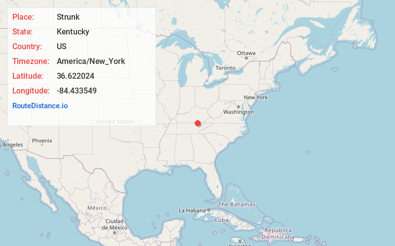
Full AddressStrunk, KY 42649
-
Coordinates36.6220236, -84.4335486
-
LocationStrunk , Kentucky , US
-
TimezoneAmerica/New_York
-
Current Local Time7:54:12 PM America/New_YorkSaturday, May 31, 2025
-
Page Views0
About Strunk
Strunk is an unincorporated community and coal town in McCreary County, Kentucky, United States. The community's post office was established as Strunk Lane on February 18, 1892, and was probably named for George W. Strunk, who owned a local coal mine. By 1894, the post office's name was simplified to Strunk.


Nearby Places
Found 10 places within 50 miles

Silerville
0.3 mi
0.5 km
Silerville, KY 42649
Get directions

Pine Knot
2.0 mi
3.2 km
Pine Knot, KY
Get directions
Creekmore
4.0 mi
6.4 km
Creekmore, KY 42649
Get directions
Clay Hill
4.3 mi
6.9 km
Clay Hill, TN 37892
Get directions

Winfield
4.7 mi
7.6 km
Winfield, TN
Get directions
Stearns
5.8 mi
9.3 km
Stearns, KY
Get directions
Hollyhill
6.4 mi
10.3 km
Hollyhill, KY 40769
Get directions
Barthell
6.8 mi
10.9 km
Barthell, KY 42649
Get directions
Smith Town
6.9 mi
11.1 km
Smith Town, KY 42647
Get directions
Foster Crossroads
7.3 mi
11.7 km
Foster Crossroads, TN 37841
Get directions
Location Links
Local Weather
Weather Information
Coming soon!
Location Map
Static map view of Strunk, Kentucky
Browse Places by Distance
Places within specific distances from Strunk
Short Distances
Long Distances
Click any distance to see all places within that range from Strunk. Distances shown in miles (1 mile ≈ 1.61 kilometers).