Distance to State Line, Idaho

Calculating Your Route
Just a moment while we process your request...
Location Information
-
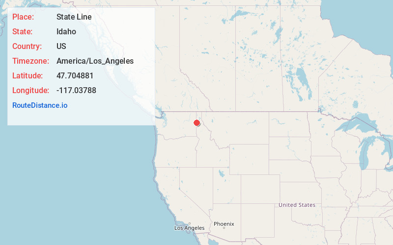
Full AddressState Line, ID
-
Coordinates47.7048807, -117.0378801
-
LocationState Line , Idaho , US
-
TimezoneAmerica/Los_Angeles
-
Current Local Time9:03:12 AM America/Los_AngelesSaturday, June 21, 2025
-
Page Views0
About State Line
Stateline, officially the City of State Line, and historically known as State Line Village, is a city in Kootenai County, Idaho, United States, and is both the easternmost suburb of Spokane, Washington and the westernmost suburb of Coeur d'Alene, Idaho. The population was 39 at the 2020 census.


Nearby Places
Found 10 places within 50 miles

Liberty Lake
4.1 mi
6.6 km
Liberty Lake, WA
Get directions

Post Falls
4.1 mi
6.6 km
Post Falls, ID
Get directions

Hauser
4.7 mi
7.6 km
Hauser, ID
Get directions

Huetter
8.7 mi
14.0 km
Huetter, ID
Get directions

Spokane Valley
9.6 mi
15.4 km
Spokane Valley, WA
Get directions

Rathdrum
9.9 mi
15.9 km
Rathdrum, ID
Get directions

Millwood
11.5 mi
18.5 km
Millwood, WA
Get directions

Coeur d'Alene
12.1 mi
19.5 km
Coeur d'Alene, ID
Get directions

Hayden
12.4 mi
20.0 km
Hayden, ID
Get directions
Dalton Gardens
12.6 mi
20.3 km
Dalton Gardens, ID
Get directions
Location Links
Local Weather
Weather Information
Coming soon!
Location Map
Static map view of State Line, Idaho
Browse Places by Distance
Places within specific distances from State Line
Short Distances
Long Distances
Click any distance to see all places within that range from State Line. Distances shown in miles (1 mile ≈ 1.61 kilometers).