Distance to Steamboat Rock, Iowa

Calculating Your Route
Just a moment while we process your request...
Location Information
-
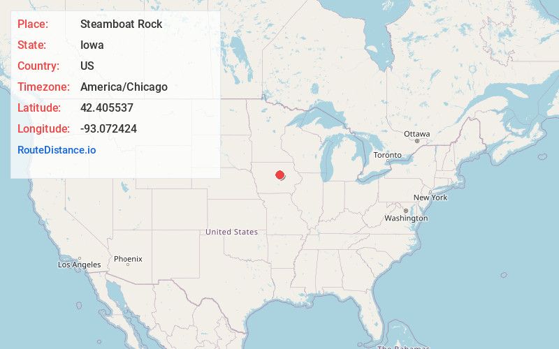
Full AddressSteamboat Rock, IA
-
Coordinates42.4055374, -93.0724235
-
LocationSteamboat Rock , Iowa , US
-
TimezoneAmerica/Chicago
-
Current Local Time4:15:31 AM America/ChicagoSunday, June 1, 2025
-
Page Views0
About Steamboat Rock
Steamboat Rock is a city in Hardin County, Iowa, United States. The population was 264 at the time of the 2020 census.


Nearby Places
Found 10 places within 50 miles

Eldora
3.1 mi
5.0 km
Eldora, IA 50627
Get directions

Wellsburg
7.7 mi
12.4 km
Wellsburg, IA 50680
Get directions

Ackley
10.4 mi
16.7 km
Ackley, IA 50601
Get directions

Union
11.1 mi
17.9 km
Union, IA 50258
Get directions

Iowa Falls
12.6 mi
20.3 km
Iowa Falls, IA 50126
Get directions
Hubbard
13.5 mi
21.7 km
Hubbard, IA 50122
Get directions

Holland
13.9 mi
22.4 km
Holland, IA 50642
Get directions
Liscomb
15.4 mi
24.8 km
Liscomb, IA
Get directions
Aplington
15.5 mi
24.9 km
Aplington, IA 50604
Get directions

Grundy Center
15.8 mi
25.4 km
Grundy Center, IA 50638
Get directions
Location Links
Local Weather
Weather Information
Coming soon!
Location Map
Static map view of Steamboat Rock, Iowa
Browse Places by Distance
Places within specific distances from Steamboat Rock
Short Distances
Long Distances
Click any distance to see all places within that range from Steamboat Rock. Distances shown in miles (1 mile ≈ 1.61 kilometers).